Épuisé, mais très demandé!
En savoir plus sur le livre
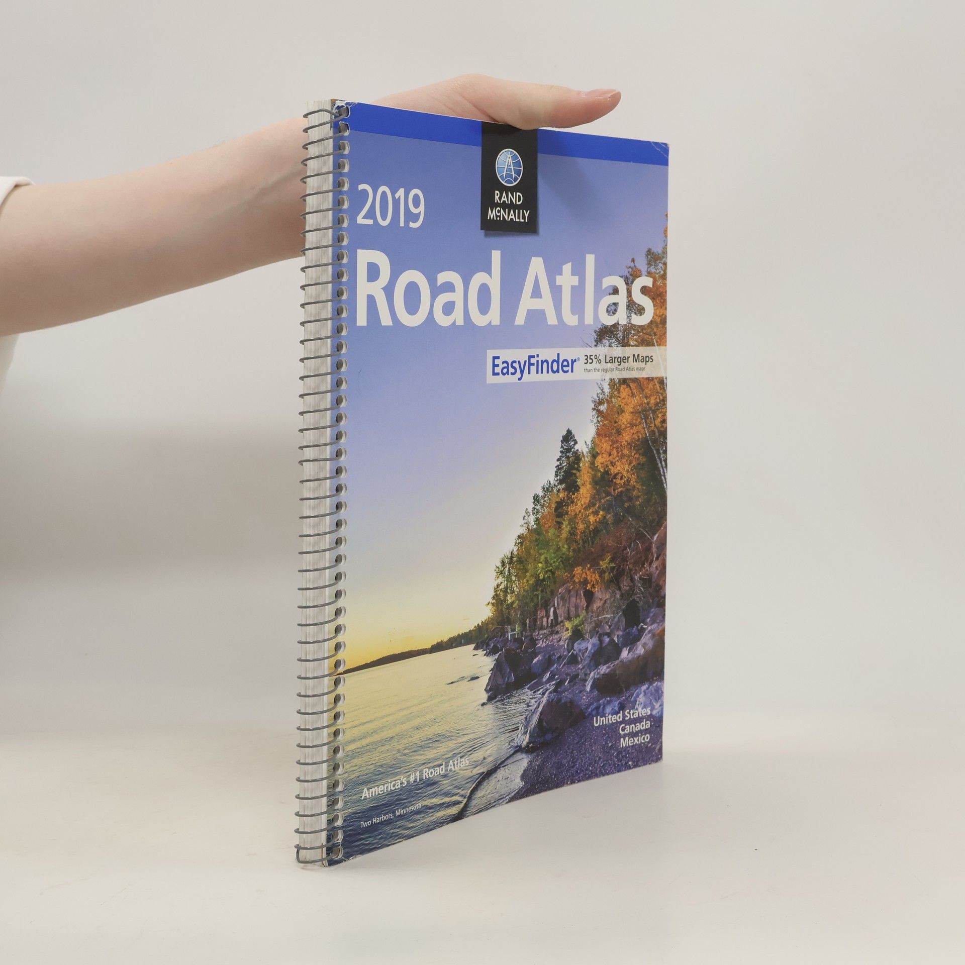
This updated North American atlas contains maps of every U.S. state and Canadian province, an overview map of Mexico, plus detailed maps of over 50 North American cities, all conveniently packaged for travel. Contains mileage chart showing distances between 77 cities and national parks with driving times map. Spiral binding allows the book to lay open easily.
Achat du livre
Rand McNally 2019 Easyfinder Midsize Road Atlas, Rand Mcnally
- Langue
- Année de publication
- 2018
- product-detail.submit-box.info.binding
- (spirale)
Nous vous informerons par e-mail dès que nous l’aurons retrouvé.
Modes de paiement
Il manque plus que ton avis ici.


