
Épuisé


En savoir plus sur le livre
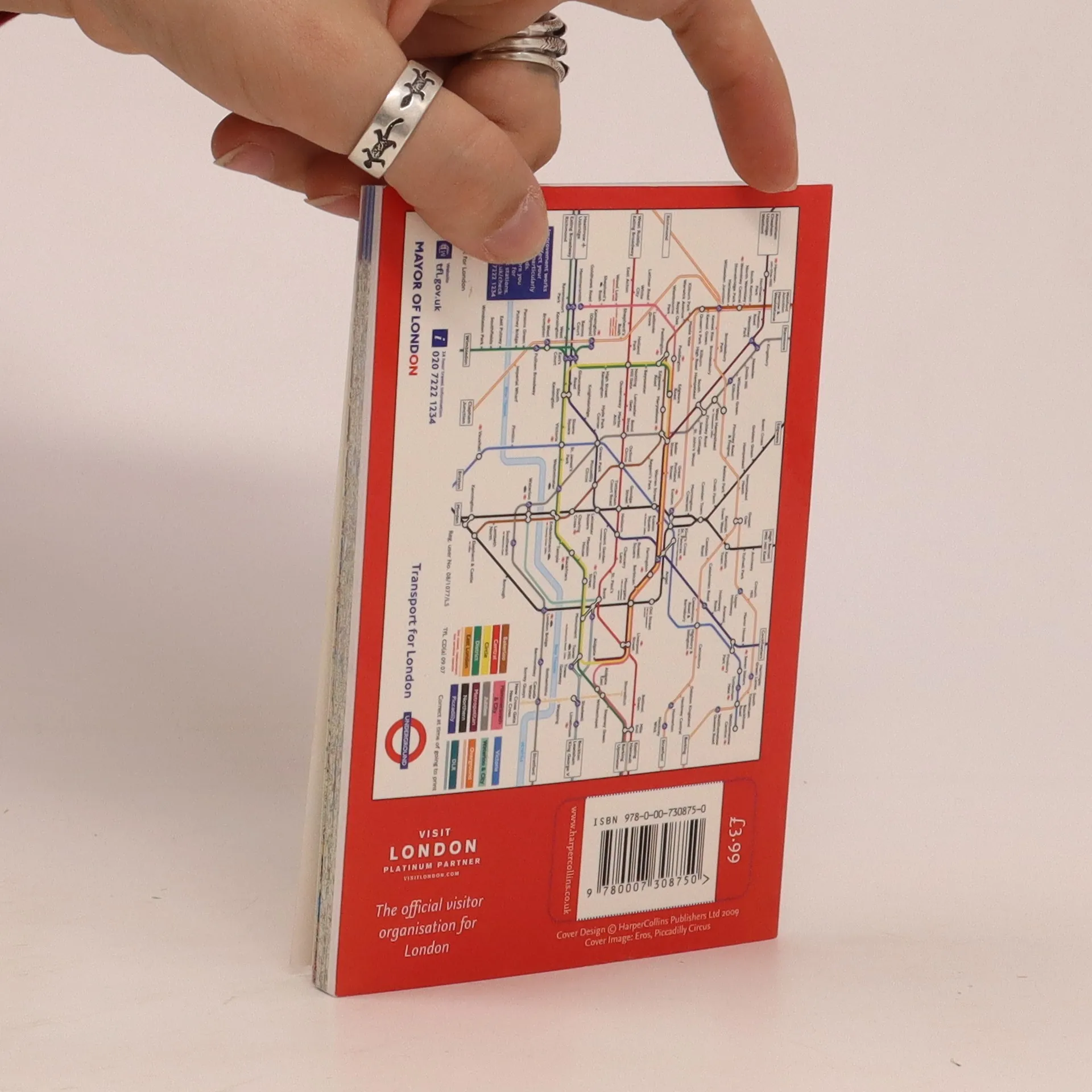
Maps in this atlas are exceptionally clear and easy to use with color coding for both the roads as well as locations such as shops, hospitals, hotels, schools, and more. They include postal district boundaries, car parks and police stations, tourist information centers, an Underground map on the rear cover, and a full index of street names. The area of coverage extends from Chiswick in the west to Barking in the east and Hackney in the north to Dulwich in the south. Compact and pocket-sized and showing a wealth of detail, the scale is 3.17 inches to one mile.
Achat du livre
Pocket Atlas London, Collectif d'auteurs
- Langue

- Année de publication
- 2009
- product-detail.submit-box.info.binding
- (souple)
Nous vous informerons par e-mail dès que nous l’aurons retrouvé.
Modes de paiement
Il manque plus que ton avis ici.
- Titre
- Pocket Atlas London
- Langue
- Anglais
- Auteurs
- Collectif d'auteurs
- Éditeur
- Collins
- Publié
- 2009
- Format
- souple
- Pages
- 144
- ISBN10
- 0007308752
- ISBN13
- 9780007308750
- Séries
- Mots clés
- Nonfiction, Cartes et voyages, Cartes & Atlas
- Évaluation
- 5 sur 5
- Description
- Maps in this atlas are exceptionally clear and easy to use with color coding for both the roads as well as locations such as shops, hospitals, hotels, schools, and more. They include postal district boundaries, car parks and police stations, tourist information centers, an Underground map on the rear cover, and a full index of street names. The area of coverage extends from Chiswick in the west to Barking in the east and Hackney in the north to Dulwich in the south. Compact and pocket-sized and showing a wealth of detail, the scale is 3.17 inches to one mile.