
Épuisé

Évaluation du livre
En savoir plus sur le livre
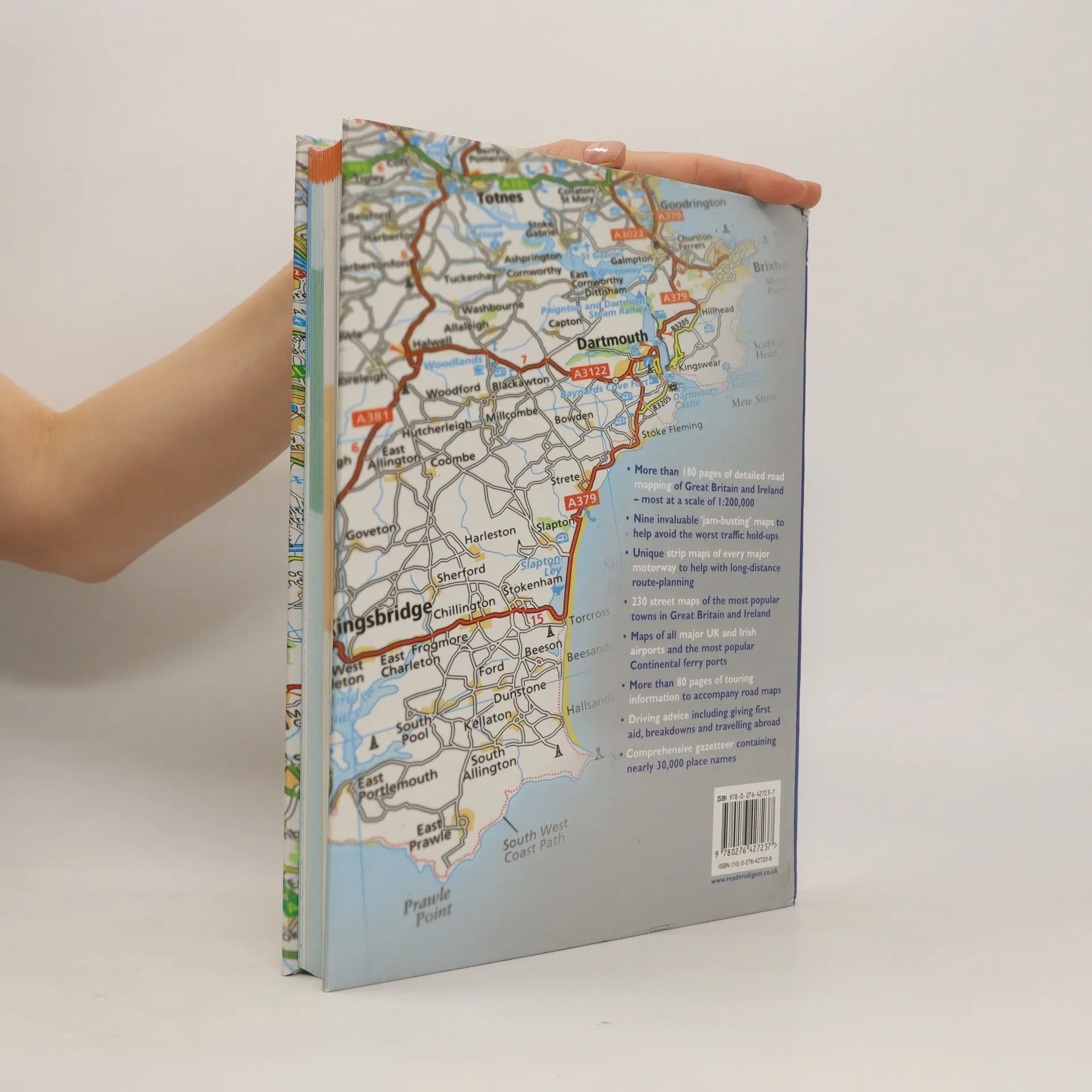
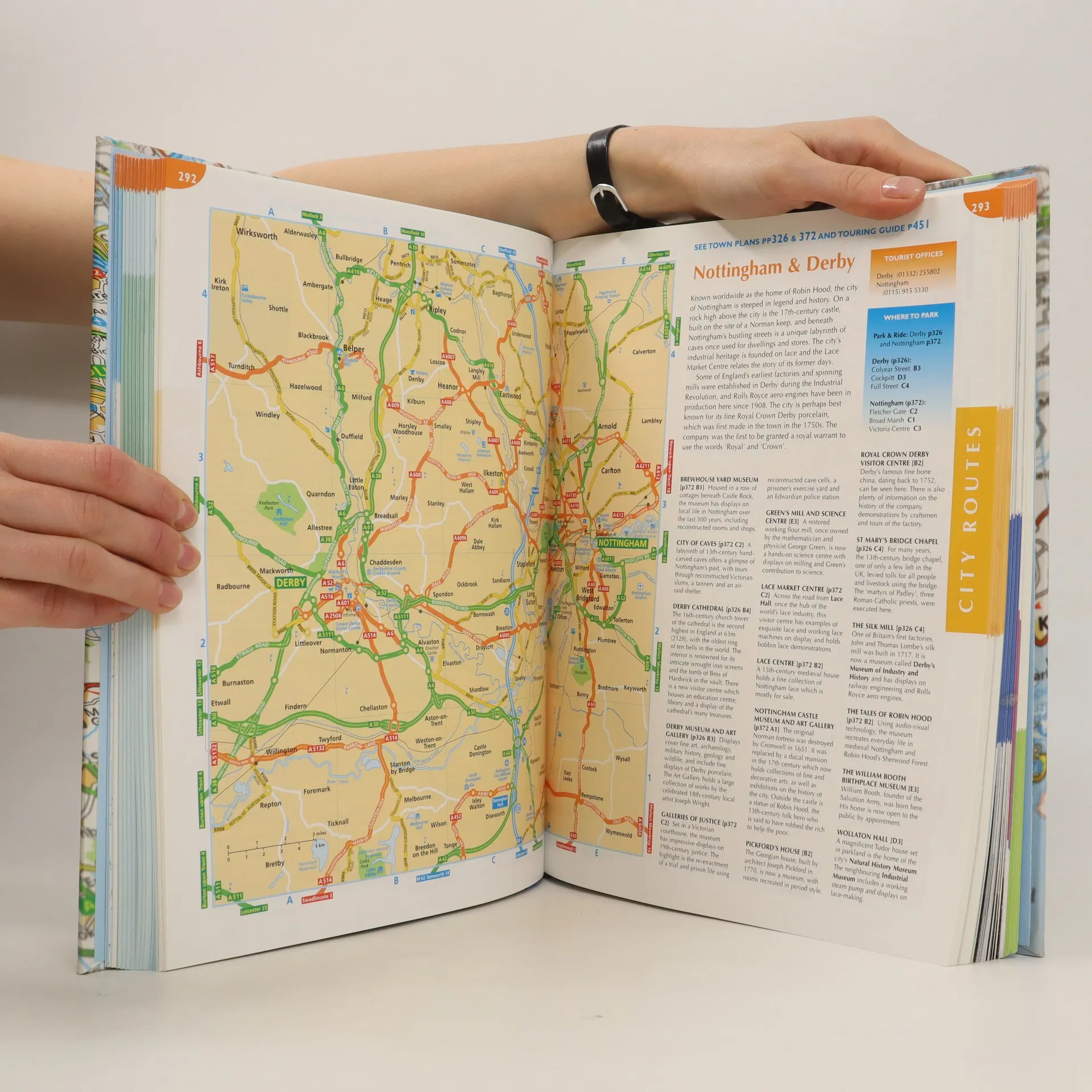
This atlas covers all of Britain and Ireland with the area around Calais and Boulogne as well. It shows motorways, primary routes, A-roads, B-roads, lanes and backroads. There are also plans of cities, towns (with park and ride schemes), airports, ferry ports, and extra-large-scale city route finders.
Achat du livre
The complete driver's atlas of Britain and Ireland, Collectif d'auteurs
- Langue

- Année de publication
- 2007
- product-detail.submit-box.info.binding
- (rigide)
Nous vous informerons par e-mail dès que nous l’aurons retrouvé.
Modes de paiement
Il manque plus que ton avis ici.
- Titre
- The complete driver's atlas of Britain and Ireland
- Langue
- Anglais
- Auteurs
- Collectif d'auteurs
- Éditeur
- Reader's Digest
- Publié
- 2007
- Format
- rigide
- Pages
- 568
- ISBN10
- 0276427238
- ISBN13
- 9780276427237
- Séries
- Mots clés
- Nonfiction, Cartes et voyages, Cartes & Atlas
- Évaluation
- 4,35 sur 5
- Description
- This atlas covers all of Britain and Ireland with the area around Calais and Boulogne as well. It shows motorways, primary routes, A-roads, B-roads, lanes and backroads. There are also plans of cities, towns (with park and ride schemes), airports, ferry ports, and extra-large-scale city route finders.