
Paramètres
- 160pages
- 6 heures de lecture
En savoir plus sur le livre
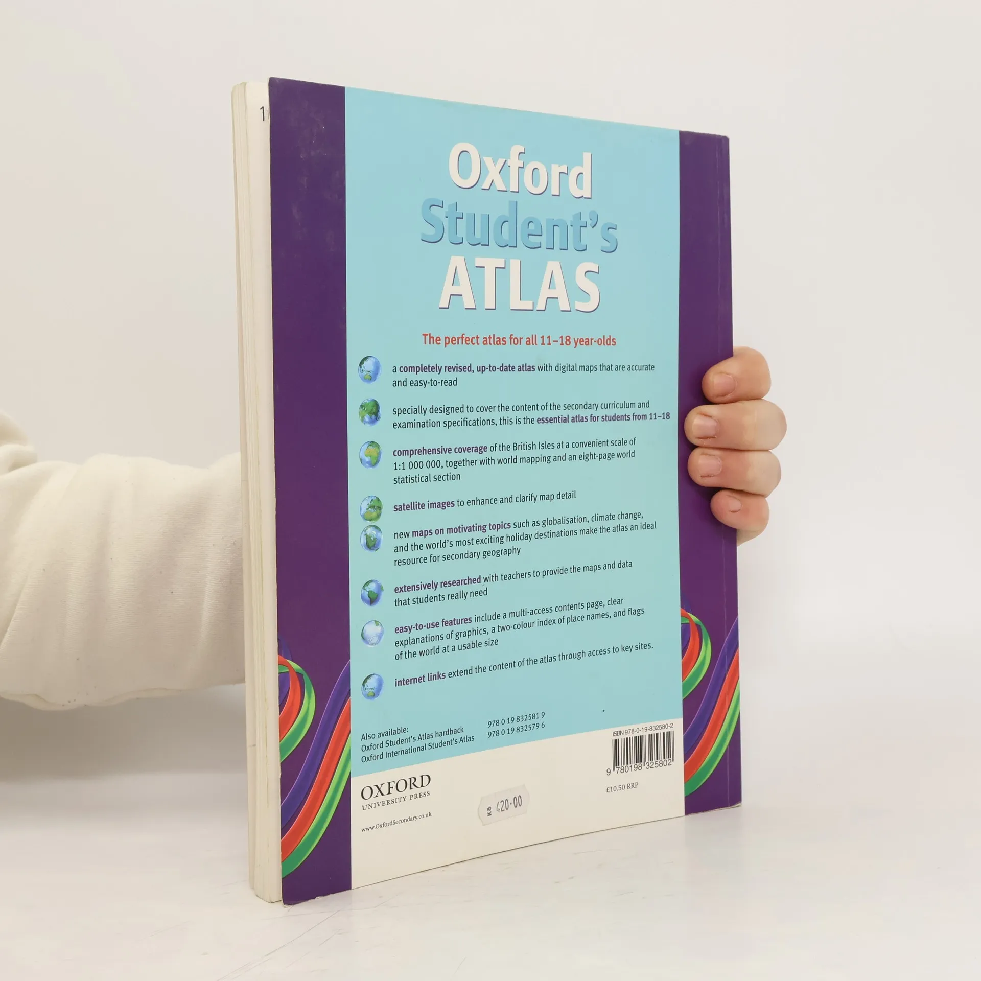
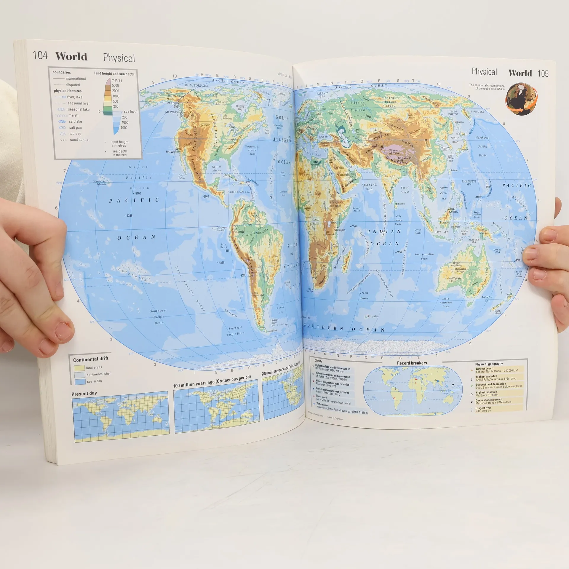
The Oxford Student's Atlas is a completely revised, up-to-date atlas with digital maps that are accurate and easy-to-read. Satellite images are used to enhance and clarify map detail and the easy-to-use features include a multi-access contents page, clear explanations of graphics, a two-colourindex of place names, and flags of the world at a usable size. There is comprehensive coverage of the British Isles at a convenient scale of 1:100 000, together with world mapping and an eight-page world statistical section. It includes mapping on motivating topics such as globalisation, climatechange, disease, refugees, and the world's most exciting holiday destinations, that will appeal to students.
Achat du livre
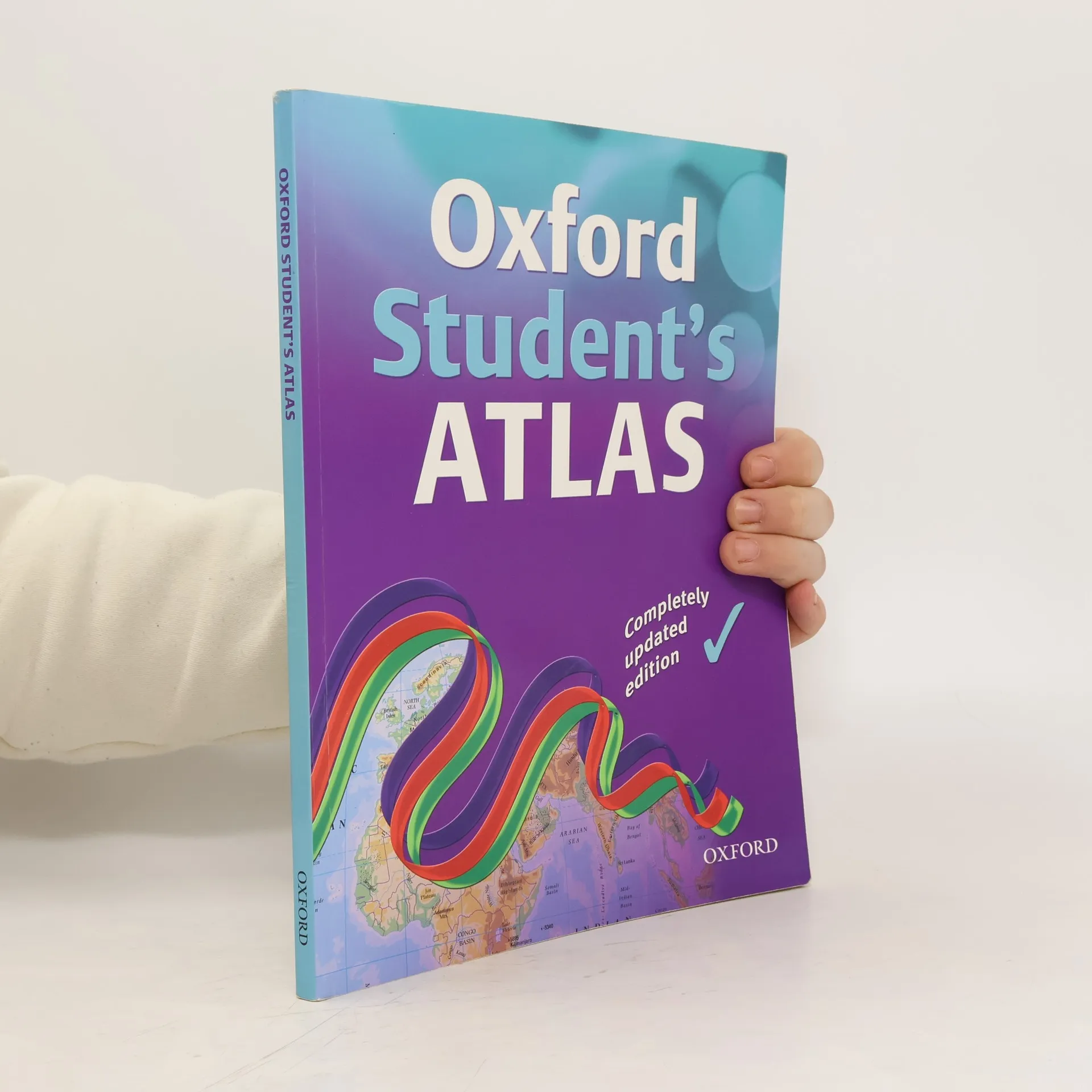
Oxford Student's Atlas, Collectif d'auteurs
- Langue

- Année de publication
- 2007
- product-detail.submit-box.info.binding
- (souple)
Modes de paiement
Il manque plus que ton avis ici.
- Titre
- Oxford Student's Atlas
- Langue
- Anglais
- Auteurs
- Collectif d'auteurs
- Éditeur
- Oxford University Press, USA
- Publié
- 2007
- Format
- souple
- Pages
- 160
- ISBN10
- 0198325800
- ISBN13
- 9780198325802
- Séries
- Mots clés
- Nonfiction, Manuels
- Évaluation
- 4 sur 5
- Description
- The Oxford Student's Atlas is a completely revised, up-to-date atlas with digital maps that are accurate and easy-to-read. Satellite images are used to enhance and clarify map detail and the easy-to-use features include a multi-access contents page, clear explanations of graphics, a two-colourindex of place names, and flags of the world at a usable size. There is comprehensive coverage of the British Isles at a convenient scale of 1:100 000, together with world mapping and an eight-page world statistical section. It includes mapping on motivating topics such as globalisation, climatechange, disease, refugees, and the world's most exciting holiday destinations, that will appeal to students.