


Paramètres
En savoir plus sur le livre
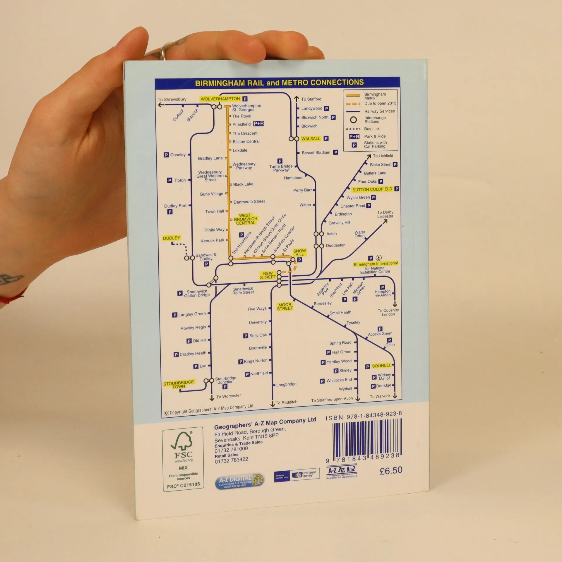
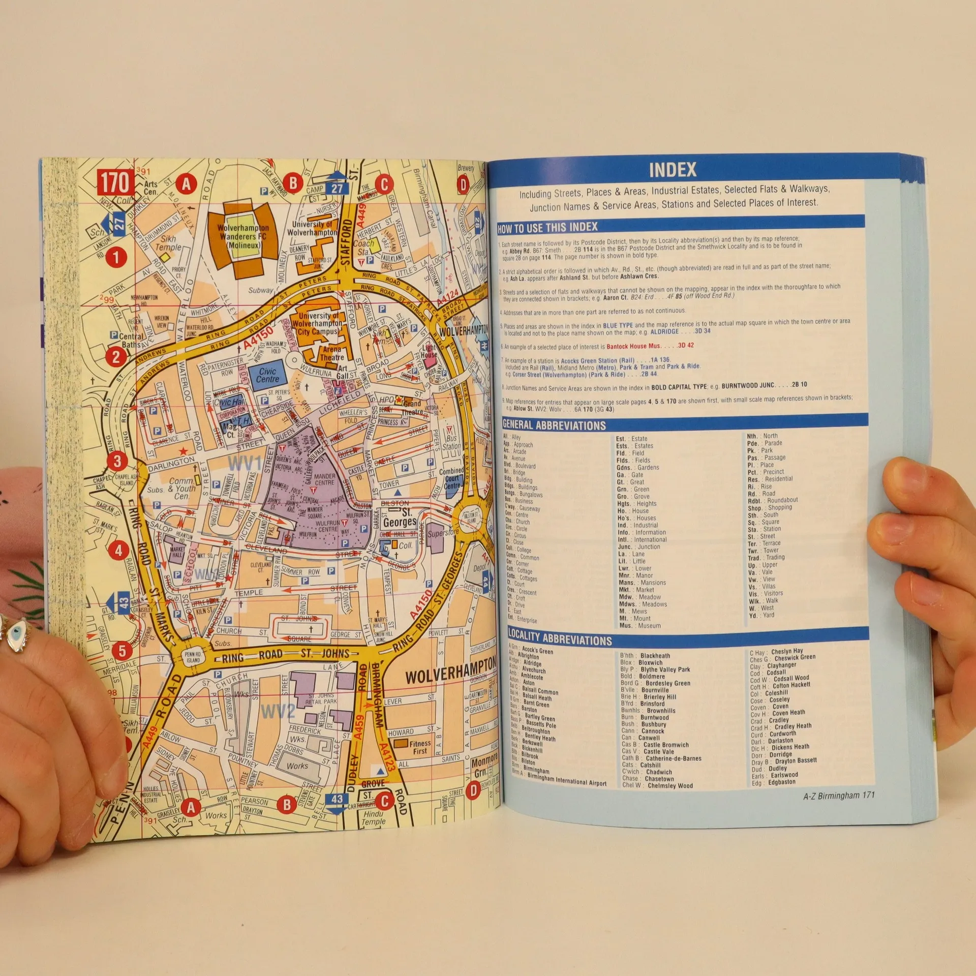
This spiral bound map of Birmingham includes coverage of:•Birmingham•Bloxwich•Dudley•Sedgley•Solihull•Stourbridge•Walsall•West Bromwich•WolverhamptonThe atlas includes 164 street map pages extending to include:•Aldridge•Brownhills•Castle Bromwich•Dorridge•Great Wyrley•Halesowen•Knowle•Longbridge•Oldbury•Smethwick•Sutton Coldfield•Wednesfield•WombourneAlso included are large scale city centre maps of Birmingham and Wolverhampton and a West Midlands rail and Midland Metro transport connections map on the back cover.Postcode districts, one-way streets and safety camera locations with maximum speeds are featured on the mapping.The index section lists streets; selected flats, walkways and places of interest; place and area names; National Rail and Midland Metro stations. There is a separate list of hospitals, NHS Walk-in Centres and hospices covered by this map.
Achat du livre
A-Z Birmingham, Collectif d'auteurs
- Langue

- Année de publication
- 2012
- product-detail.submit-box.info.binding
- (souple)
Modes de paiement
Personne n'a encore évalué .
- Titre
- A-Z Birmingham
- Langue
- Anglais
- Auteurs
- Collectif d'auteurs
- Éditeur
- Geographers' A-Z Map Co Ltd
- Publié
- 2012
- Format
- souple
- ISBN10
- 1843489236
- ISBN13
- 9781843489238
- Séries
- Mots clés
- Nonfiction, Cartes et voyages, Voyage, Manuels et guides
- Description
- This spiral bound map of Birmingham includes coverage of:•Birmingham•Bloxwich•Dudley•Sedgley•Solihull•Stourbridge•Walsall•West Bromwich•WolverhamptonThe atlas includes 164 street map pages extending to include:•Aldridge•Brownhills•Castle Bromwich•Dorridge•Great Wyrley•Halesowen•Knowle•Longbridge•Oldbury•Smethwick•Sutton Coldfield•Wednesfield•WombourneAlso included are large scale city centre maps of Birmingham and Wolverhampton and a West Midlands rail and Midland Metro transport connections map on the back cover.Postcode districts, one-way streets and safety camera locations with maximum speeds are featured on the mapping.The index section lists streets; selected flats, walkways and places of interest; place and area names; National Rail and Midland Metro stations. There is a separate list of hospitals, NHS Walk-in Centres and hospices covered by this map.