
Épuisé
En savoir plus sur le livre
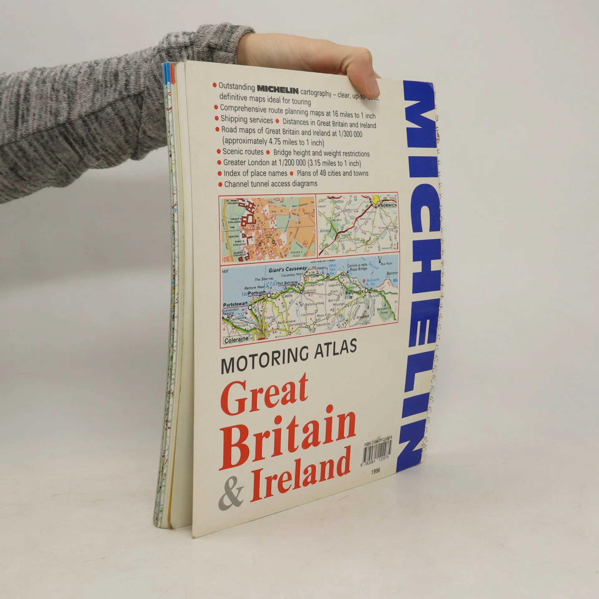
A motoring atlas of Great Britain and Ireland, with cartography at a scale of 1:300,000. Scenic routes are indicated, and other features include shipping services, distances, bridge height and weight restrictions, 49 city and town plans, and Channel Tunnel access diagrams.
Achat du livre
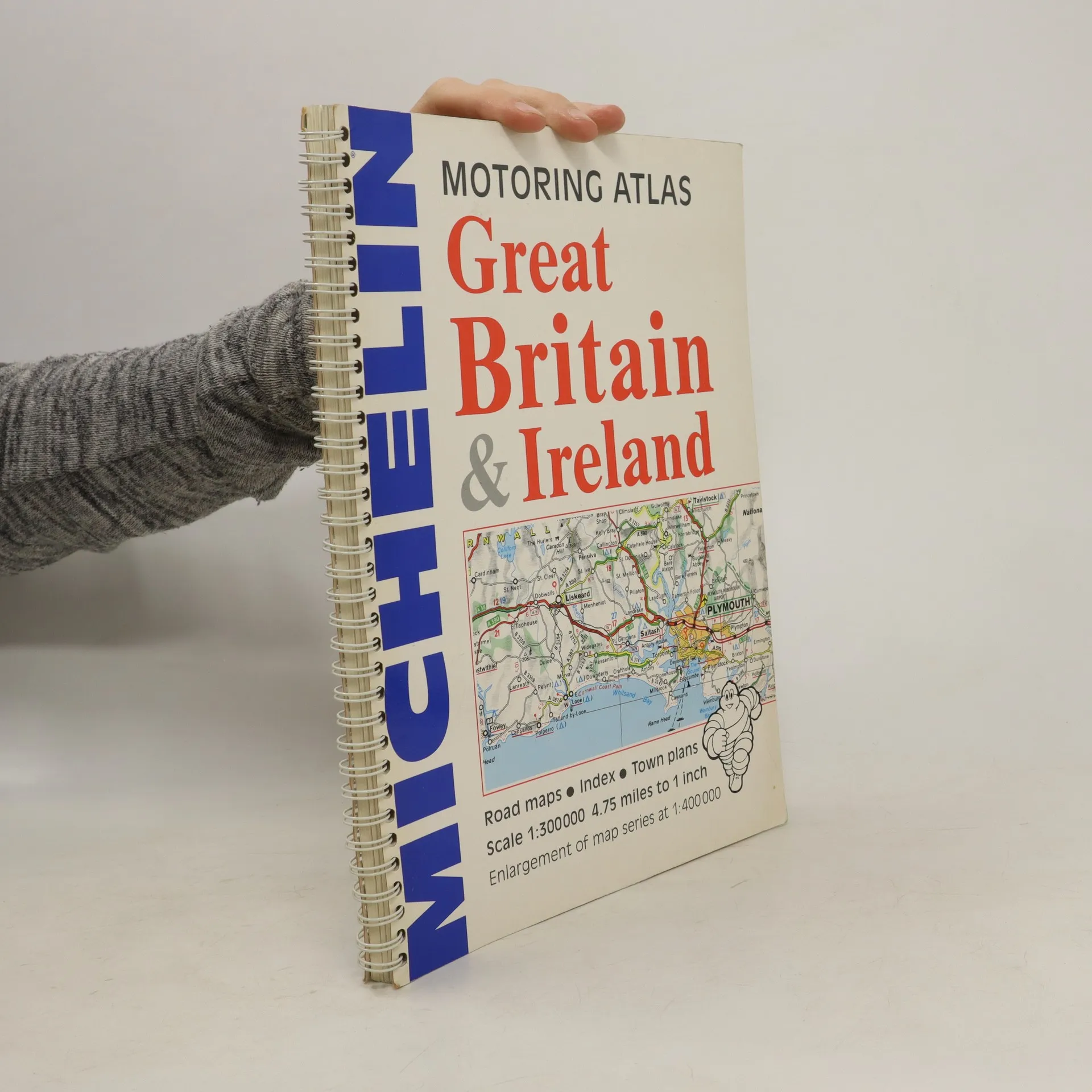
Motoring Atlas Great Britain & Ireland, Collectif d'auteurs
- Langue

- Année de publication
- 1996
- product-detail.submit-box.info.binding
- (spirale)
Nous vous informerons par e-mail dès que nous l’aurons retrouvé.
Modes de paiement
Il manque plus que ton avis ici.
- Titre
- Motoring Atlas Great Britain & Ireland
- Langue
- Anglais
- Auteurs
- Collectif d'auteurs
- Éditeur
- Michelin Travel Publications
- Publié
- 1996
- Format
- spirale
- Pages
- 147
- ISBN10
- 2061122078
- ISBN13
- 9782061122075
- Séries
- Mots clés
- Nonfiction, Cartes et voyages
- Évaluation
- 3 sur 5
- Description
- A motoring atlas of Great Britain and Ireland, with cartography at a scale of 1:300,000. Scenic routes are indicated, and other features include shipping services, distances, bridge height and weight restrictions, 49 city and town plans, and Channel Tunnel access diagrams.