
Épuisé


En savoir plus sur le livre
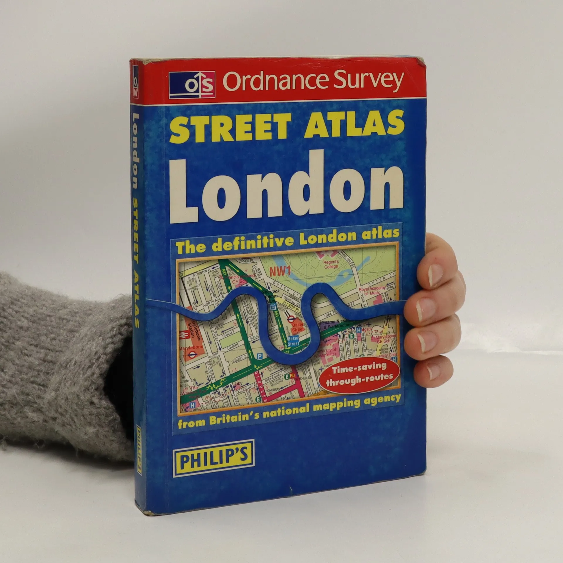
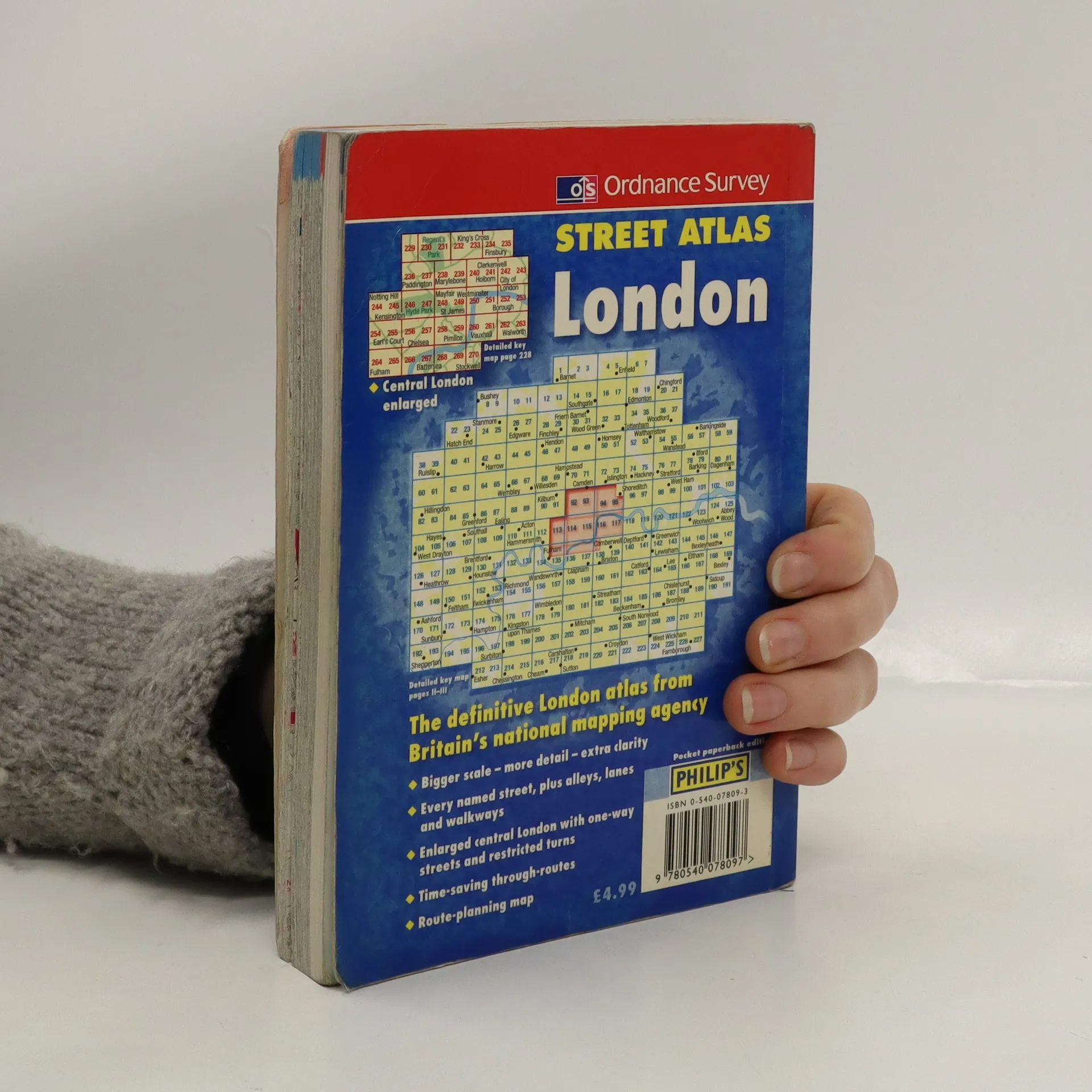
This atlas uses a scale of 3.5 inches:1 mile. It has a detailed index and shows through routes to help with journey planning. A planning map shows main roads in and out of London, and there are route indicators on major roads as they come to the edge of the mapping. Postcode districts and boundaries are shown on both the main mapping and on a separate map. The central area is enlarged (7 inches:1 mile), and shows one-way streets and restricted turns.
Achat du livre
Street Atlas: London, Collectif d'auteurs
- Langue

- Année de publication
- 2000
- product-detail.submit-box.info.binding
- (souple)
Nous vous informerons par e-mail dès que nous l’aurons retrouvé.
Modes de paiement
Personne n'a encore évalué .
- Titre
- Street Atlas: London
- Langue
- Anglais
- Auteurs
- Collectif d'auteurs
- Éditeur
- Philip's
- Publié
- 2000
- Format
- souple
- ISBN10
- 0540078093
- ISBN13
- 9780540078097
- Séries
- Recueil
- Ordnance Survey
- Mots clés
- Nonfiction, Cartes et voyages, Voyage, Cartes & Atlas
- Description
- This atlas uses a scale of 3.5 inches:1 mile. It has a detailed index and shows through routes to help with journey planning. A planning map shows main roads in and out of London, and there are route indicators on major roads as they come to the edge of the mapping. Postcode districts and boundaries are shown on both the main mapping and on a separate map. The central area is enlarged (7 inches:1 mile), and shows one-way streets and restricted turns.