
Exactement cet exemplaire ira dans le panier

Paramètres
En savoir plus sur le livre
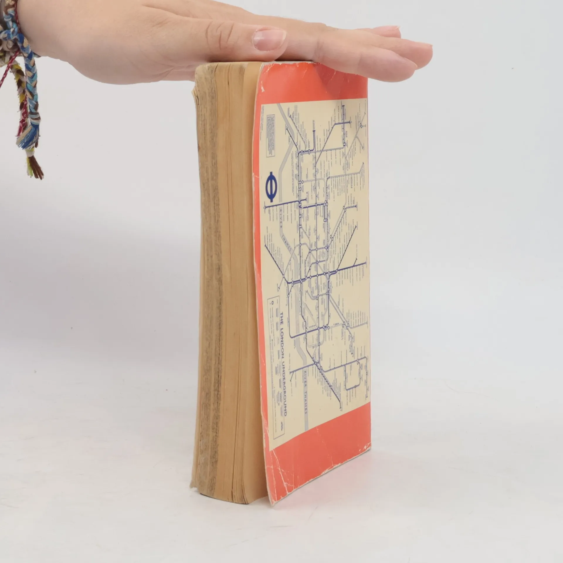
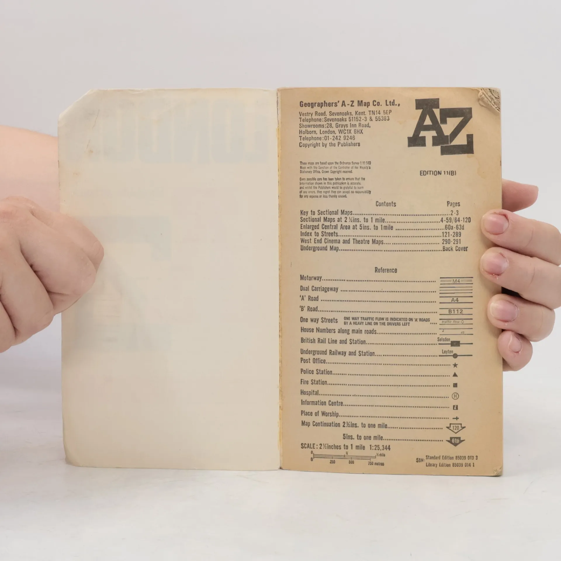
Contains street maps at scale 3" to 1 mile, 11 pages of 4.5" to 1 mile maps covering the congested central area, an Underground map and West End cinema and theatre maps. Coverage extends to Stanmore, Barnet, Enfield, Woodford, Dagenham, Woolwich, Bromley, Croydon, Surbiton, Southall and Harrow.


Achat du livre
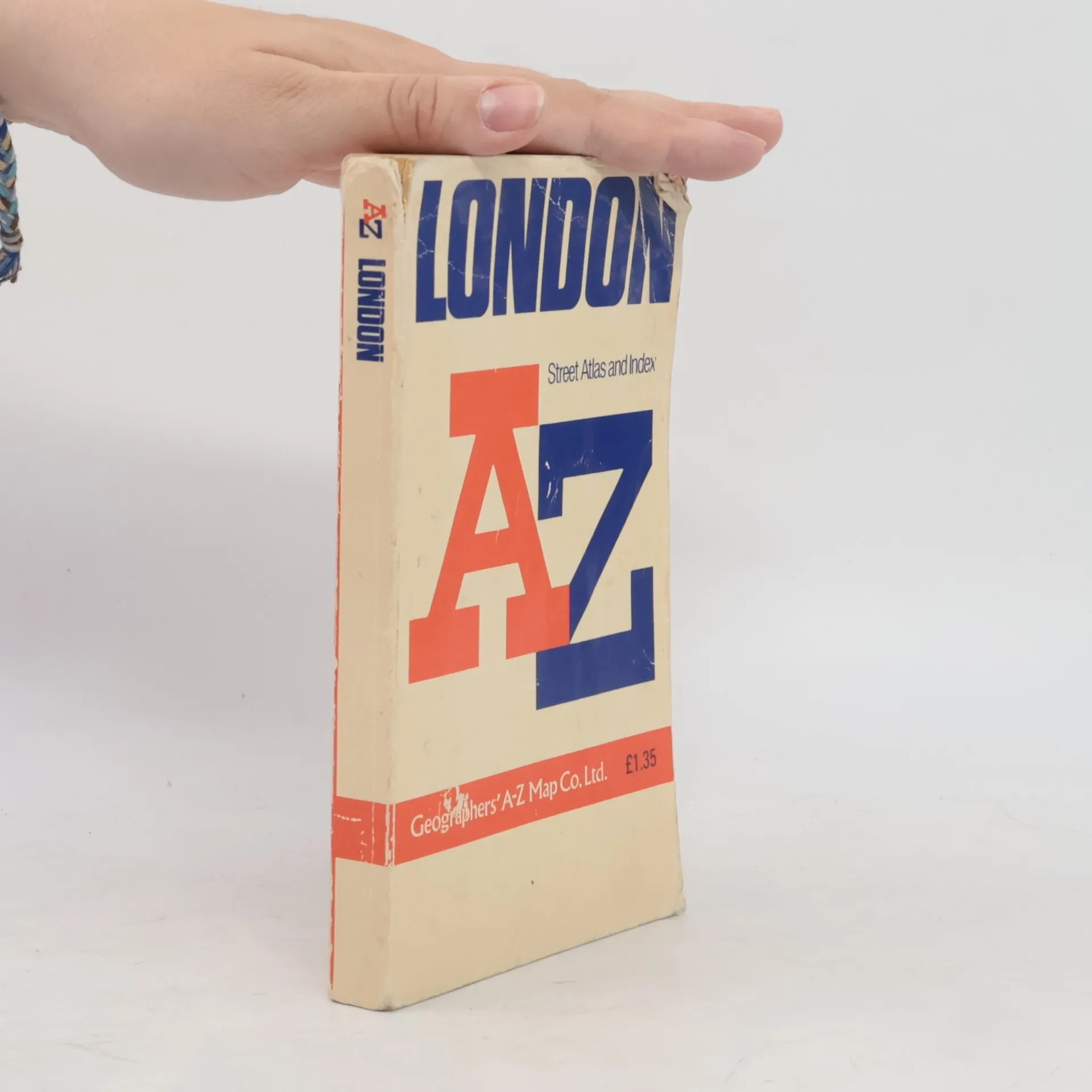
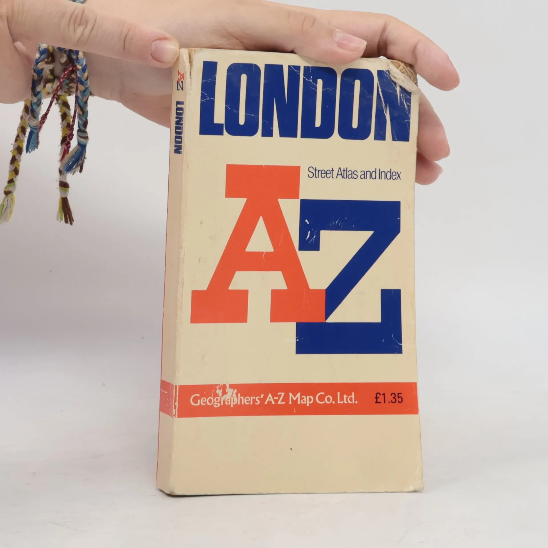
AZ London Street Atlas, Collectif d'auteurs
- Langue

- Année de publication
- 1990
- product-detail.submit-box.info.binding
- (souple),
- État du livre
- Abîmé
- Prix
- 1,53 €
Modes de paiement
Il manque plus que ton avis ici.
- Sous-titre
- Street Atlas Index
- Langue
- Anglais
- Auteurs
- Collectif d'auteurs
- Éditeur
- Geographers' A-Z Map Company
- Publié
- 1990
- Format
- souple
- ISBN10
- 0850390133
- ISBN13
- 9780850390131
- Séries
- Mots clés
- Nonfiction, Cartes et voyages, Voyage
- Évaluation
- 4,45 sur 5
- Description
- Contains street maps at scale 3" to 1 mile, 11 pages of 4.5" to 1 mile maps covering the congested central area, an Underground map and West End cinema and theatre maps. Coverage extends to Stanmore, Barnet, Enfield, Woodford, Dagenham, Woolwich, Bromley, Croydon, Surbiton, Southall and Harrow.