
Épuisé
Paramètres
En savoir plus sur le livre
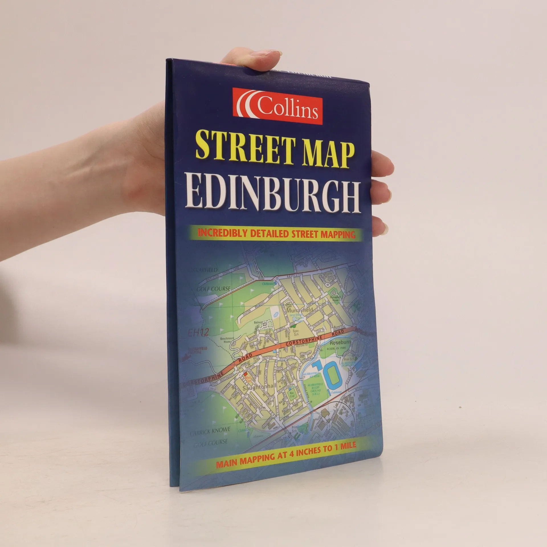
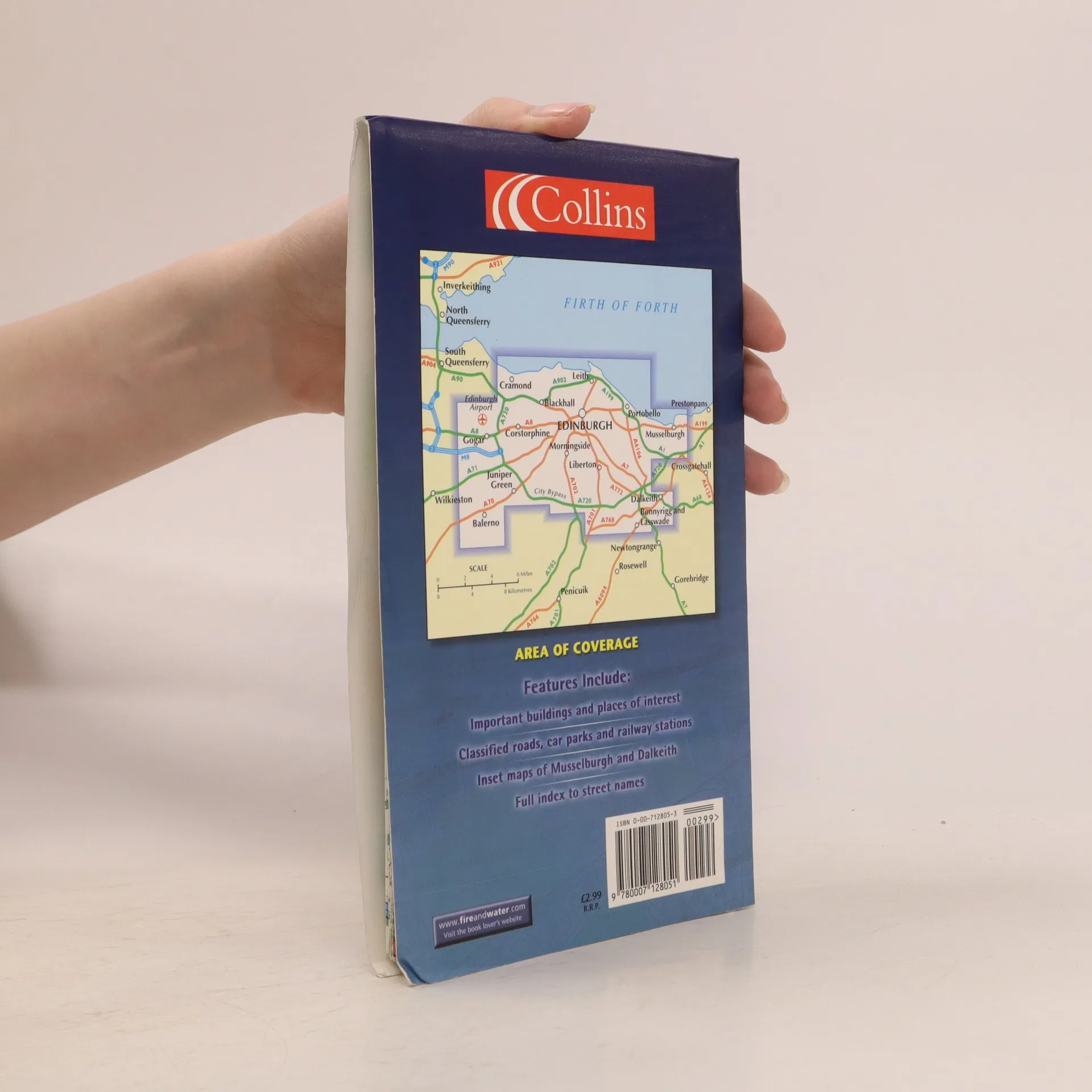
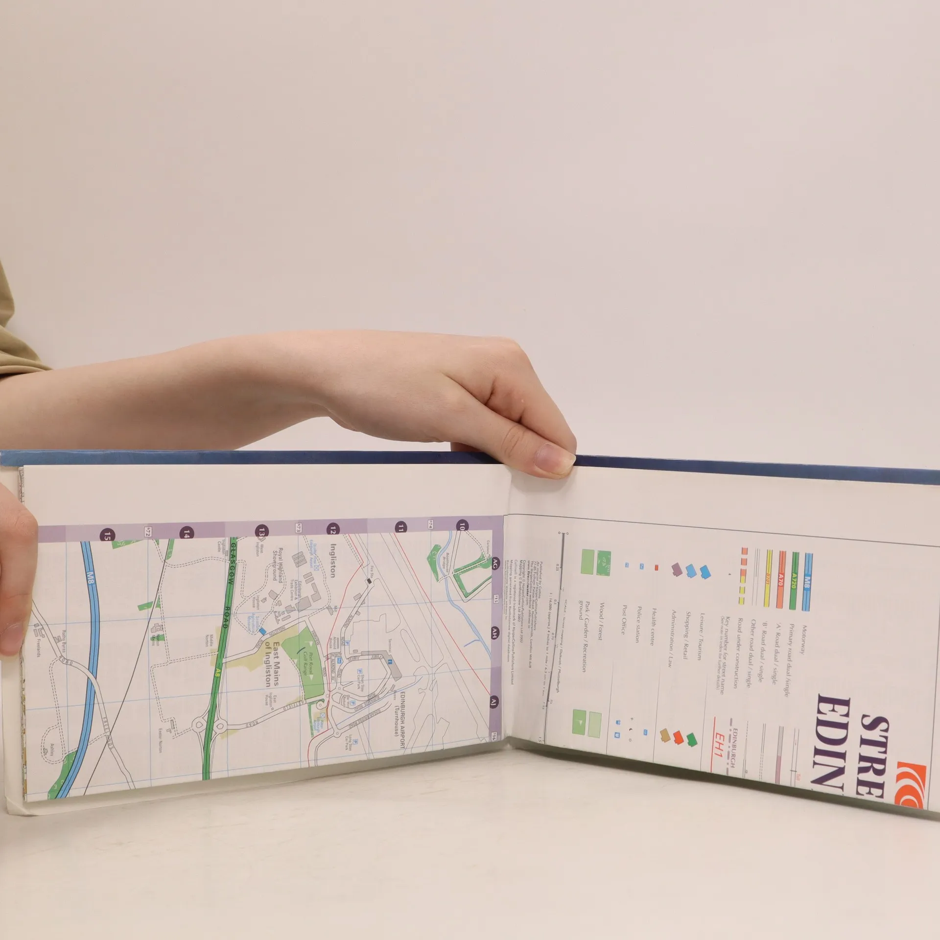
This full colour map of Edinburgh provides street level detail and a full index to street names at a scale of 4 inches to 1 mile, 1:15,840. The map includes: all important buildings and places of interest; an enlarged central area; classified roads; inset maps of Musselburgh and Dalkeith; and car parks and railway stations. The map's area of coverage stretches from the airport in the west to Musselburgh in the east and from Firth of Forth in the north to Loanhead in the south.
Achat du livre
Street Map Edinburgh, Collectif d'auteurs
- Langue

- Année de publication
- 2002
- product-detail.submit-box.info.binding
- (souple)
Nous vous informerons par e-mail dès que nous l’aurons retrouvé.
Modes de paiement
Personne n'a encore évalué .
- Titre
- Street Map Edinburgh
- Langue
- Anglais
- Auteurs
- Collectif d'auteurs
- Publié
- 2002
- Format
- souple
- ISBN10
- 0007128053
- ISBN13
- 9780007128051
- Séries
- Mots clés
- Nonfiction, Cartes et voyages, Voyage, Cartes & Atlas
- Description
- This full colour map of Edinburgh provides street level detail and a full index to street names at a scale of 4 inches to 1 mile, 1:15,840. The map includes: all important buildings and places of interest; an enlarged central area; classified roads; inset maps of Musselburgh and Dalkeith; and car parks and railway stations. The map's area of coverage stretches from the airport in the west to Musselburgh in the east and from Firth of Forth in the north to Loanhead in the south.