
Épuisé


En savoir plus sur le livre
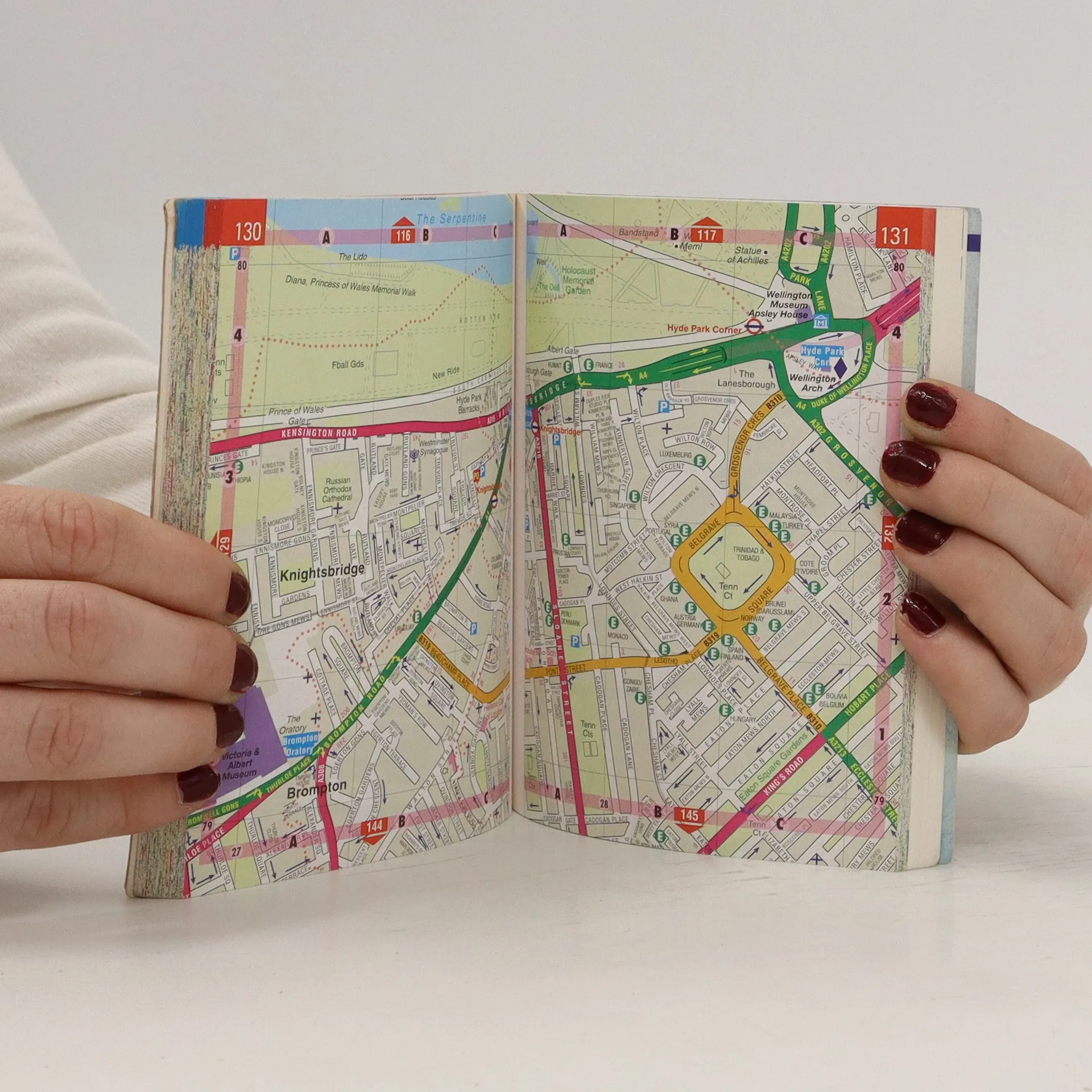
This street atlas (3.5 inches: 1 mile) shows through routes and a planning map showing main roads in and out of London. Tourist attractions are highlighted as well as bus routes, theatres and cinemas. The central area map has a scale of 7 inches to 1 mile.
Achat du livre
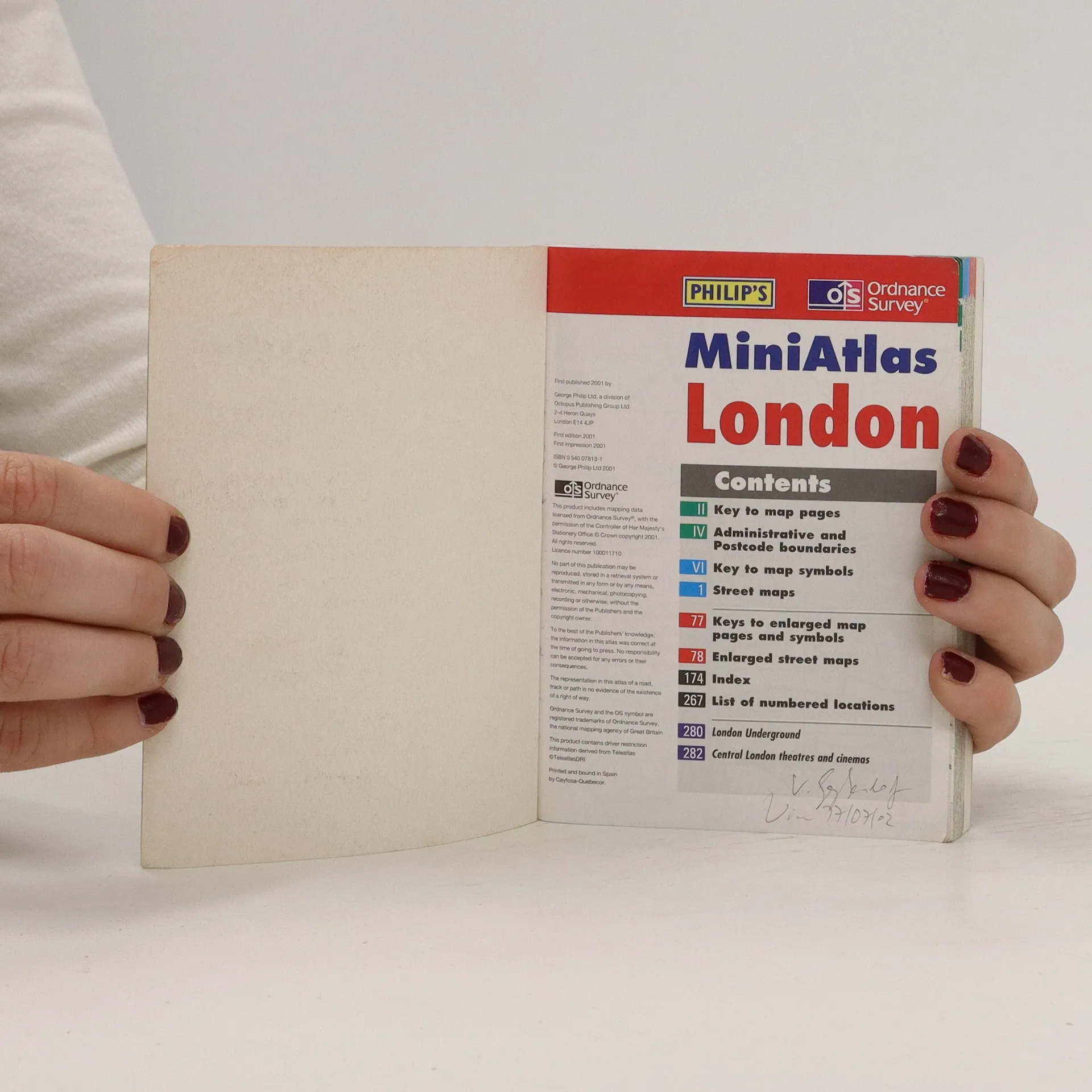
MiniAtlas London, Collectif d'auteurs
- Langue

- Année de publication
- 2001
- product-detail.submit-box.info.binding
- (souple)
Nous vous informerons par e-mail dès que nous l’aurons retrouvé.
Modes de paiement
Personne n'a encore évalué .
- Titre
- MiniAtlas London
- Langue
- Anglais
- Auteurs
- Collectif d'auteurs
- Éditeur
- Philip's
- Publié
- 2001
- Format
- souple
- Pages
- 282
- ISBN10
- 0540078131
- ISBN13
- 9780540078134
- Séries
- Mots clés
- Nonfiction, Cartes et voyages
- Description
- This street atlas (3.5 inches: 1 mile) shows through routes and a planning map showing main roads in and out of London. Tourist attractions are highlighted as well as bus routes, theatres and cinemas. The central area map has a scale of 7 inches to 1 mile.