These 30 epic walks in Northern Ireland's highest mountains have been handpicked and clearly written by a local walker with decades of experience. This is the only guidebook for the Mourne Mountains with REAL OSNI 1:25000 maps.
Andrew McCluggage Livres


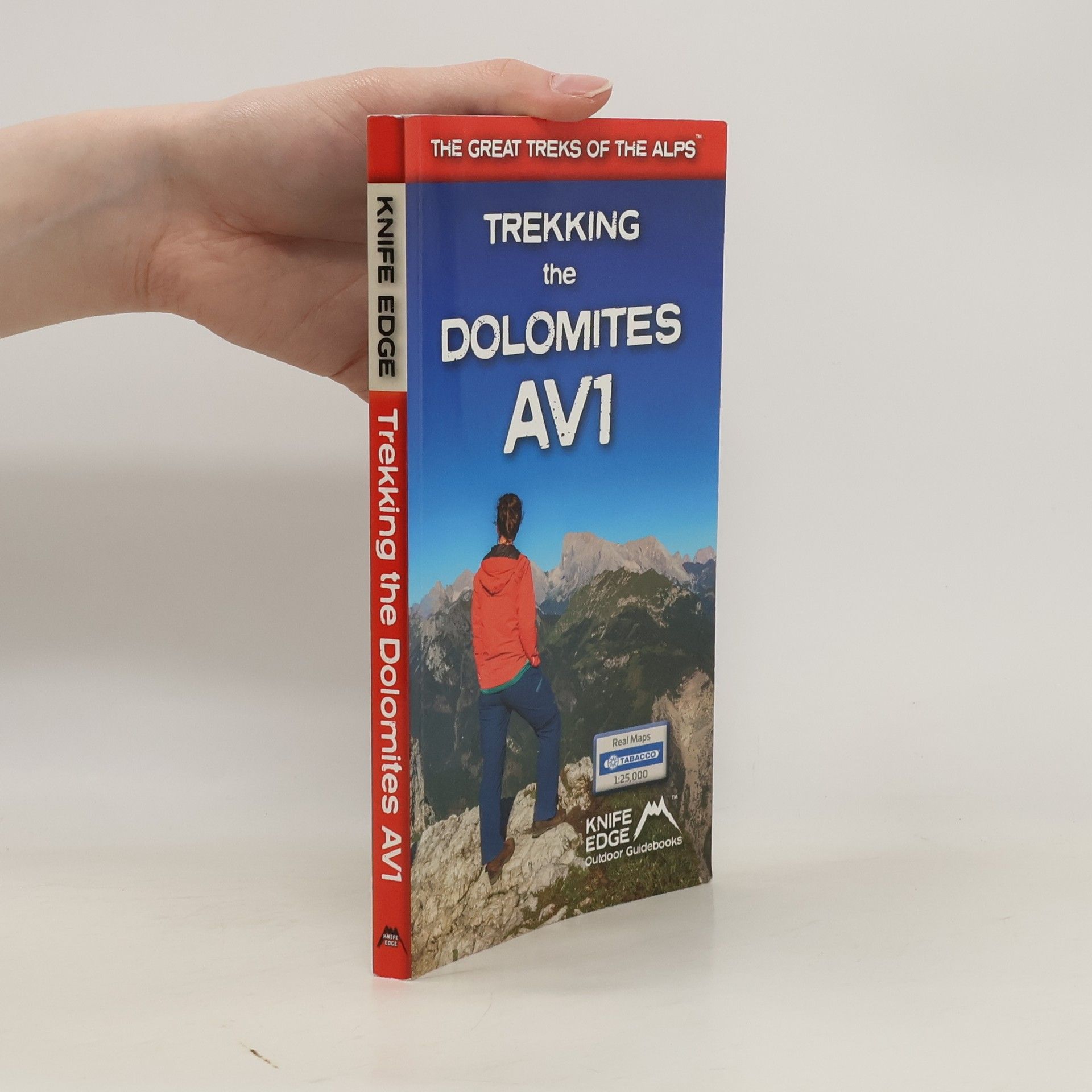
Trekking the Dolomites AV1
- 144pages
- 6 heures de lecture
This is only guidebook exclusively for the AV1 and contains everything needed plan and walk Italy's most popular long-distance route. The guidebook contains real maps - Tabacco 1:25,000 - the finest maps available for the Dolomites, thus making navigation easy with no need to carry additional maps.
The only two-way guidebook to the GR20: both northbound and southbound routes are described in full. Real IGN Maps included (1:25,000): no need to carry separate maps.
Definitive two-way guide to the South Downs Way with westbound and eastbound routes described in full. Contains full Ordnance Survey Explorer mapping inside (1:25,000) and has 18 different itineraries for walkers and runners. Difficult calculations of time, distance and altitude gain are done for you.
An incredible trek between the two most famous mountain towns in the Alps. Travelling from Chamonix in France to Zermatt in Switzerland, you will start at Mont Blanc and finish at the Matterhorn.
This definitive two-way guide to the Hadrian's Wall Path contains real OS mapping at 1:25,000 and both eastbound and westbound routes are described in full. There are 14 different itineraries with schedules of 3, 4, 5, 6, 7, 8 and 9 days for walkers and runners. Difficult calculations of time, distance and altitude gain are done for you.
Discover Northern Ireland's wild mountains, epic cliffs, spectacular beaches and stunning moorland in this, the definitive guidebook for walking in Northern Ireland, It contains 35 epic walks, hand-picked by a Country Down local, including the Causeway Coast, the Glens of Antrim, the Mourne Mountains, the Sperrin Mountains and much more.
Walking in the Brianconnais
- 240pages
- 9 heures de lecture
Guidebook of 40 walks around Briancon in France. Walks for all abilities ranging from 11/2 to 7hrs. The book focuses on the stunning valleys of Claree, Cerveyrette, Ayes, Durance and Guisane, and includes the magnificent Alpine landscapes around Vallouise and Montgenevre.
A walking guidebook for the Tour of the Ecrins National Park (GR54) one of the most stunning regions of the French Alps. This trek takes between 9 and 12 days
Walking Brittany
- 136pages
- 5 heures de lecture
Brittany's coastline has 3,000 km of sea frontage - plenty of spectacular and seemingly endless cliffs, remote rocky headlands and peninsulas and innumerable white sand beaches The guidebook includes Real IGN maps (1:25,000), numbered waypoints linking the Real maps to the book's clear descriptions and graded routes to suit all abilities.