This superb collection of imagery showcases the very best of the British Wildlife Photography Awards, an annual competition celebrating the breathtaking diversity of the natural history of the British Isles.
AA Publishing Livres


This A3 format atlas provides giant scale mapping and type throughout. It is available in two binding styles, softback and spiral bound. Each page has been titled with its geographical location so you can turn to the page you need more easily.
Walking is one of Britain's favourite leisure activities, and this guide to Berkshire and Buckinghamshire features 50 mapped walks from two to ten miles, to suit all abilities.
Celebrating the talents of photographers of all nationalities practising in the UK and highlighting the diversity of British natural history. This superb collection of imagery showcases the very best of the British Wildlife Photography Awards.
Walking is one of Britain's favourite leisure activities, and these guides feature a variety of mapped walks to suit all abilities. Walk details include a summary of distance, time, terrain and parking. Full-colour maps for each walk and full introduction to each walk providing information of local interest.
The perfect companion for traveling abroad, this phrase book series covers the most popular European languages, containing everything you need to know in a way that's concise, accessible and easy-to-understand. These handy, pocket-sized books feature over 2,000 essential phrases, plus a 2,000 word dictionary, themed sections, pronunciation tables, word lists, grammar guides, and phonetic pronunciation in italics.
Ireland
- 80pages
- 3 heures de lecture
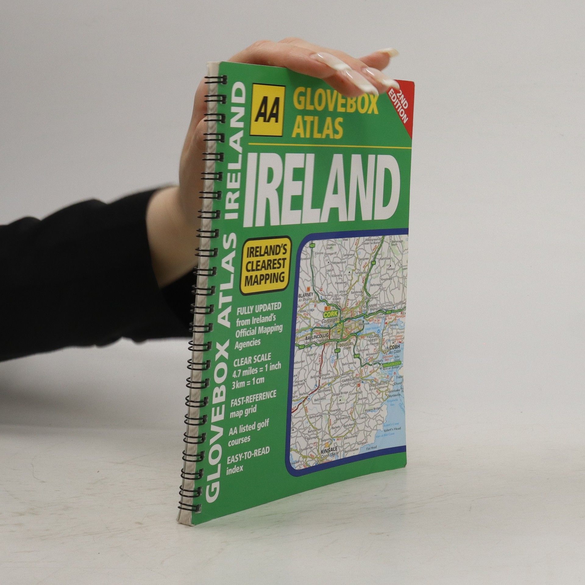
This fully updated, handy atlas is the ideal companion for travelling in Ireland while not taking up much room in the car. There are city route maps, with toll-free motorways highlighted, as well as a route planning map and easy-to-read index.
A guidebook to the 73 mile Cumbria Way, an easy long-distance walk though the heart of the Lake District National Park, from Ulverston in the south to Carlisle in the north, with good transport links to either end. The route is largely low-level but this guide offers alternative mountain days to climb some of the famous fells en route.
A4 format revised and updated for 2023, including 6 page clear Route Planner map. Providing giant scale mapping, at 2.3 miles to 1 inch. Features include large print place names and index, top 300 AA-inspected caravan and camping sites, over 240 service areas.
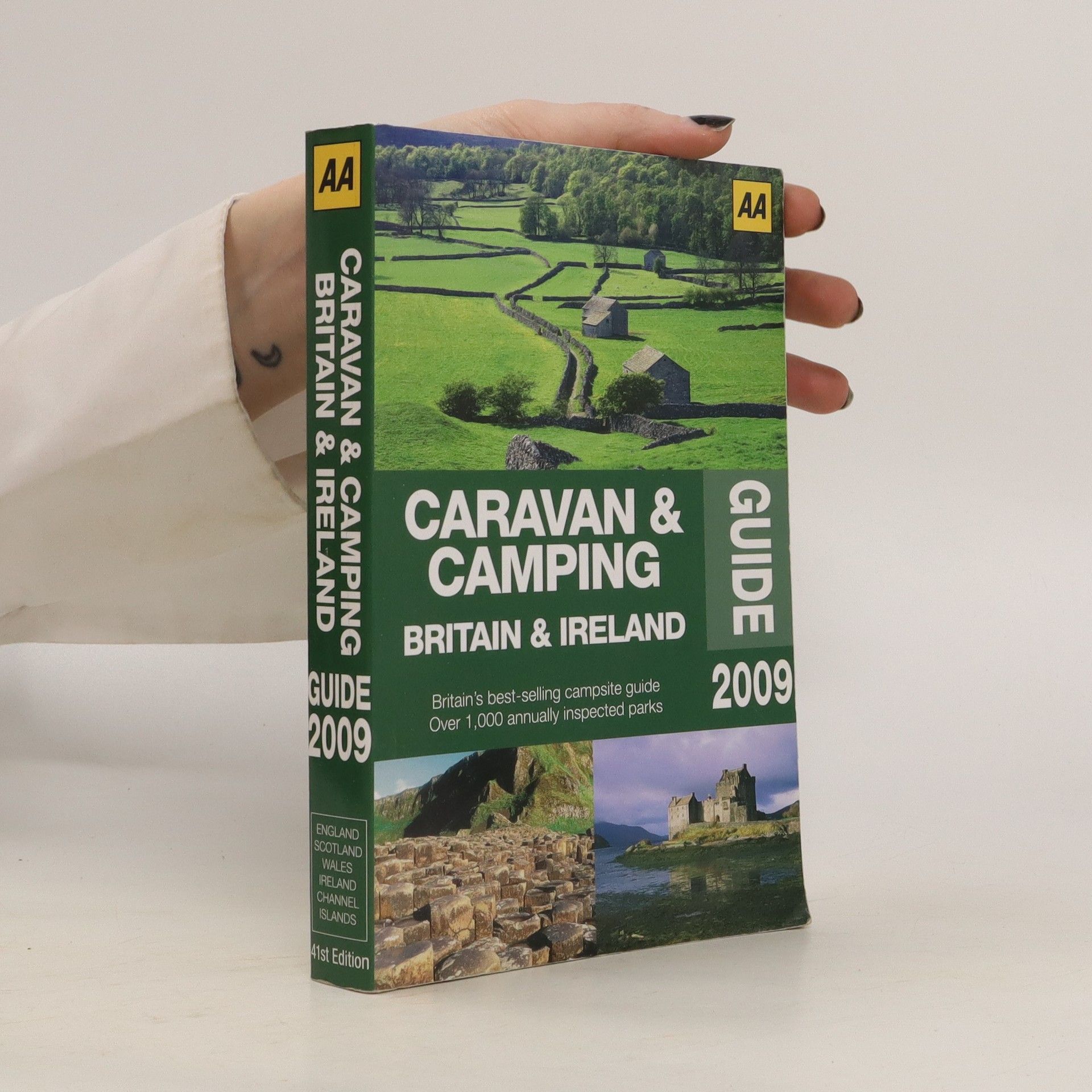
Offering information you need to enjoy the holiday in Britain and Ireland, this guide presents over 1,000 annually inspected caravan and camping parks with each site inspected by the AA and graded with the renowned AA Pennant Scheme for quality and range of facilities.

