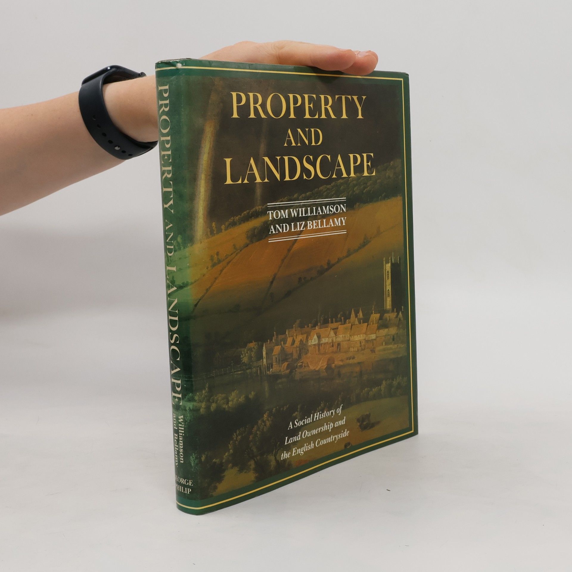
Property and Landscape
A Social History of Land Ownership and the English Countryside
- 240pages
- 9 heures de lecture


A Social History of Land Ownership and the English Countryside
A new title on the history, development and importance of orchards in terms of their economic, biodiversity and ecological contribution to the British landscape.
The East of England is one of the most prolific fruit growing areas of the United Kingdom. Often overlooked in favour of the South East, West Midlands or the West Country, the region has a rich history of fruit growing with orchards being a familiar part of the landscape.This short book not only looks at the history of orchards in eastern England, and of the fruit grown within them, but is also a recipe book, providing examples of how different kinds of fruit typical of the eastern counties, varieties of apple, pear, plum and cherry, can be used and eaten. The authors present a mixture of historic recipes, long-established 'traditional' recipes, and also new ones specially devised to make the best use of the fruit most closely associated with the old counties of Hertfordshire, Bedfordshire, Essex, Norfolk, Suffolk and Cambridgeshire.The book is one of the outcomes of 'Orchards East', a project supported by the Heritage Fund.
Time and Topography
The book explores how England's diverse regional cultures have been shaped by the natural environment and geographical characteristics. It delves into the interplay between landscape and cultural identity, highlighting how physical surroundings have influenced traditions, practices, and community development across different regions. Through this examination, it reveals the deep connections between place and culture in England's history.
The origins of England's regional cultures are here shown to be strongly influenced by the natural environment and geographical features.
Have probes of extraterrestrial origin visited Earth?
This work provides the reader with chance to view changes to the county of Norfolk from the viewpoint of aeriel photographs. It includes contrasting images of 1920s Norwich and their post-war equivalents, as well as pictures of an eclectic selection of villages and hamlets.