Bookbot Club
Carrière
À propos de nous
Contact
Recherche un livre, un auteur ou une catégorie...
Vendre des livres
Fiction
Bandes desinées & Manga
Tout Bandes dessinées & Manga
Super-héros
Bandes dessinées humoristiques
Bandes dessinées d’horreur
Bandes dessinées alternatives
Bandes dessinées pour enfants
Manga
Fantasy
Tout Fantasy
Fantasy épique
Fantasy héroïque
Fantasy historique
Fantasy humoristique
Fantasy urbaine
Fantasy pour enfants
Vampires
Horreur
Tout Horreur
Horreur cosmique
Horreur gothique
Horreur surnaturelle
Nouvelles d'horreur
Bandes dessinées d’horreur
Polars & Thrillers
Tout Polars & Thrillers
Polars classiques
Polars historiques
Polars nordiques
Thriller
Thrillers psychologiques
Romans d'espionnage
Cozy crime
Romance
Tout Romance
Romance contemporaine
Romances historiques
Romance palpitant
Comédies romantiques
Romance LGBTQ+
Romantasy
Science-fiction
Tout Science-fiction
Hard science-fiction
Science-fiction humoristique
Space opera
Dystopie
Post-apocalyptique
Steampunk
Cyberpunk
Young Adult
Tout Young Adult
Romance young adult
Fantasy young adult
Romantasy
Autres
Classiques
Romans historiques
Mythes & Légendes
Poésie
Roman social
Non-fiction
Affaires & Gestion
Économie
Finance & Comptabilité
Investissements & Bourse
Gestion & Ressources humaines
Marketing & Ventes
Art & Culture
Architecture & Urbanisme
Cinéma
Design
Histoire & Théorie de l’art
Mode
Musique
Peinture & Sculpture
Photographie
Théâtre et danse
Cartes & Voyages
Carnets de voyage
Cartes & Atlas
Géographie & Topographie
Guides touristiques
Médecine
Tout Médecine
Médecine alternative
Santé & Bien-être
Motivation & Bien-être
Couple & Relations
Développement personnel
Entrepreneuriat
Maternité & Parentalité
Méditation
Relations interpersonnelles
Science & Mathématiques
Astronomie
Biologie
Chimie
Écologie
Géologie & Minéralogie
Mathématiques
Physique
Théorie & Histoire des sciences
Sciences sociales
Anthropologie
Droit
Langues
Études littéraires
Pédagogie
Philosophie
Psychologie
Sciences politiques
Sociologie
Loisirs
Animaux domestiques
Antiquités & Collection
Artisanat
Chasse
Jardinage & Horticulture
Jeux vidéo
Loisirs créatifs & Textile
Maison & Décoration
Pêche
Technologie & Ingénierie
Agriculture
Construction & Statique
Électronique & Électrotechnique
Informatique & Internet
Militaire
Voitures & Transports
Autres
Alimentation & Régimes
Arts culinaires & Gastronomie
Fitness & Musculation
Manuels
Sport & Activités de plein air
Histoires vraies
Histoires vraies
Biographies
Carnets de voyage
Crime réel
Entretiens
Histoire
Reportages
Mystères & Théories du complot
Presse d'opinion & Essais
Livres pour enfants
Petits lecteurs
Activités pour enfants
Albums illustrés
Comptines & Poèmes
Livres de coloriage
Livres cartonnés
Premiers lectures
Grands lecteurs
Bandes dessinées pour enfants
Fantasy pour enfants
Polars pour enfants
Non-fiction pour enfants
Pour les 8–12 ans
Contes
Esotérisme & Religion
Esotérisme
Astrologie
Développement spirituel
Divination
Interprétation des rêves
Occultisme & Sorcellerie
Religion
Bouddhisme
Christianisme
Hindouisme
Islam
Judaïsme
Taoïsme
Tous les livres
John Bartholomew
John Bartholomew
Livres
Œuvre de l'auteur
Ordre des livres (chronologique)
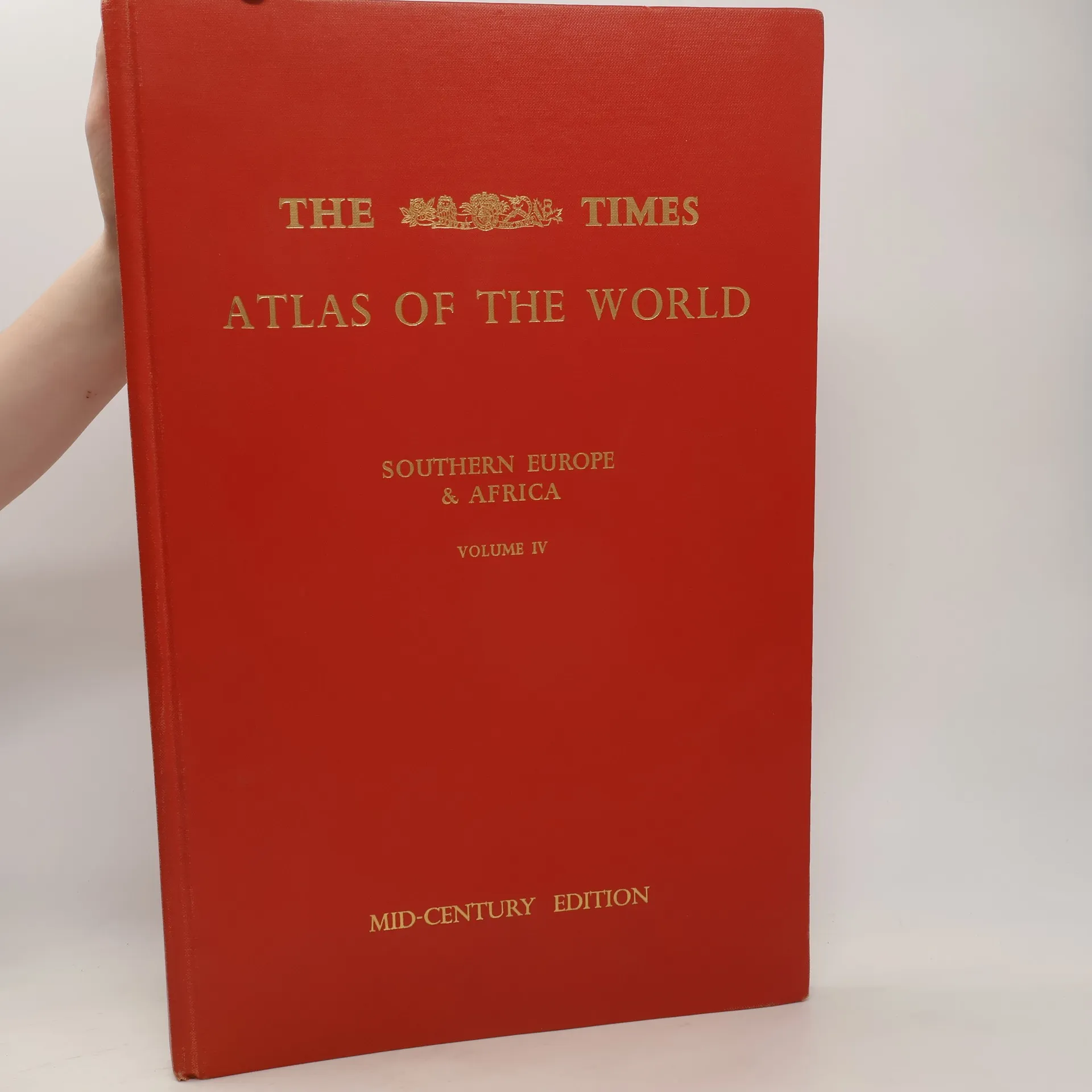
The Times Atlas of the World. Volume IV., Southern Europe and Africa
Prévenez-moi