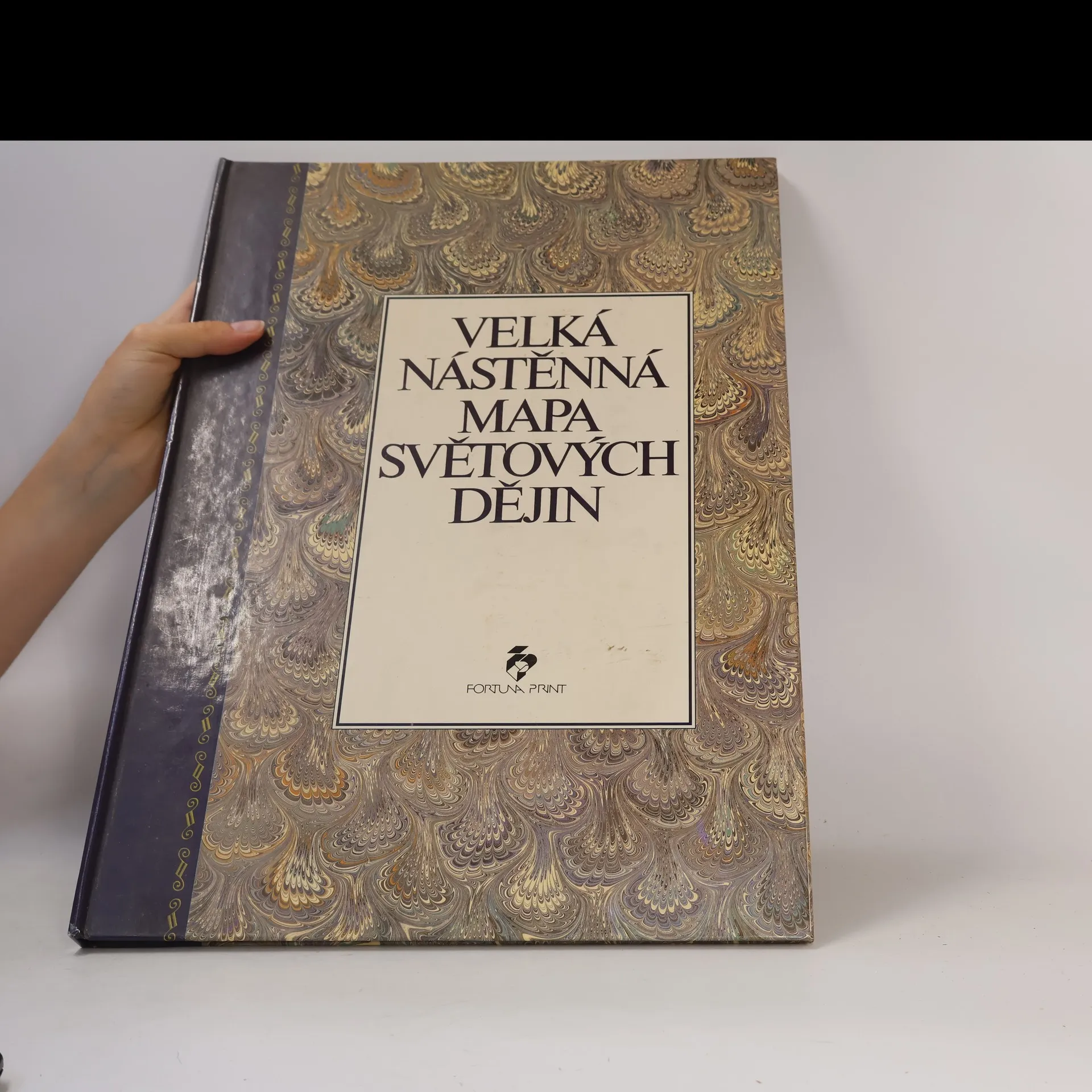
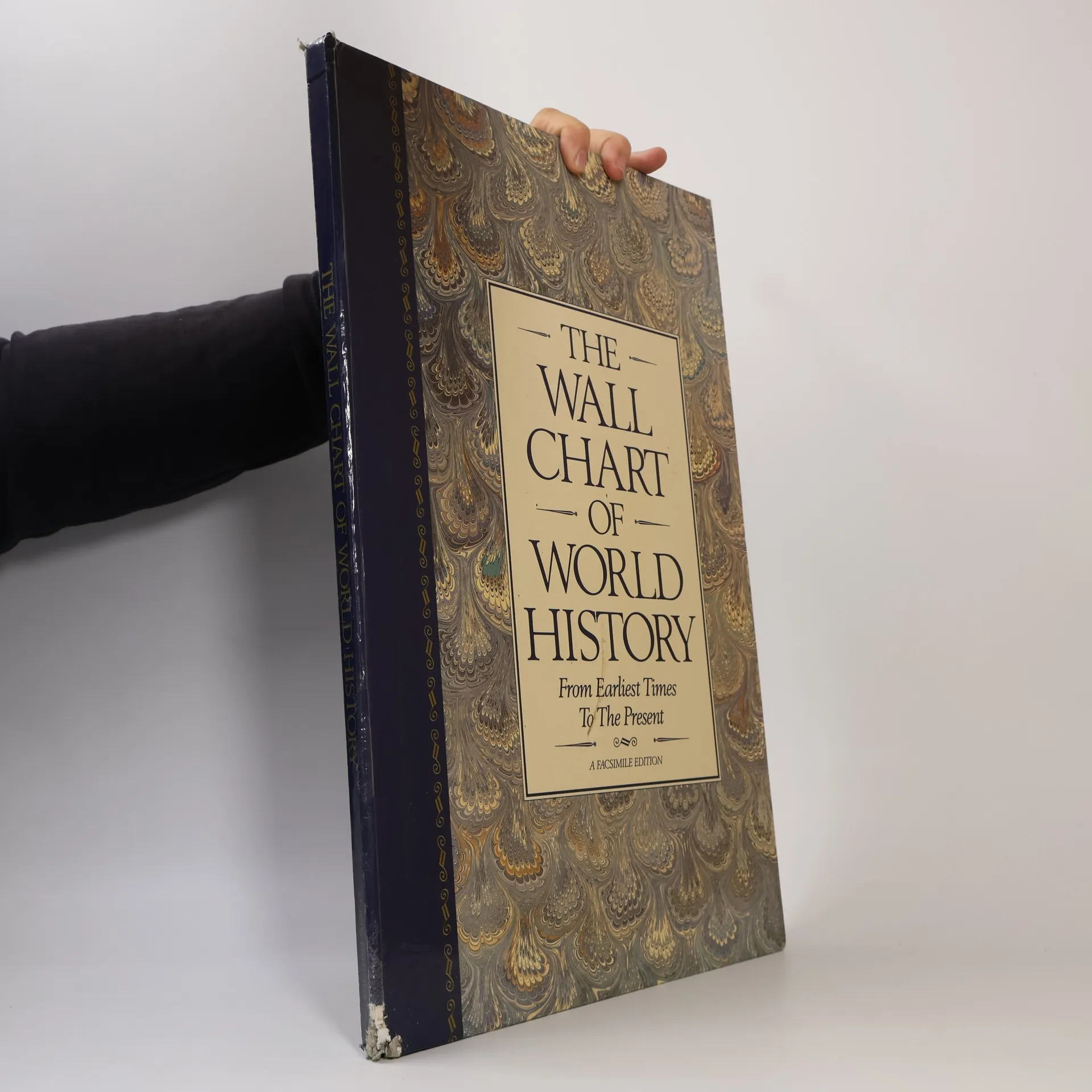
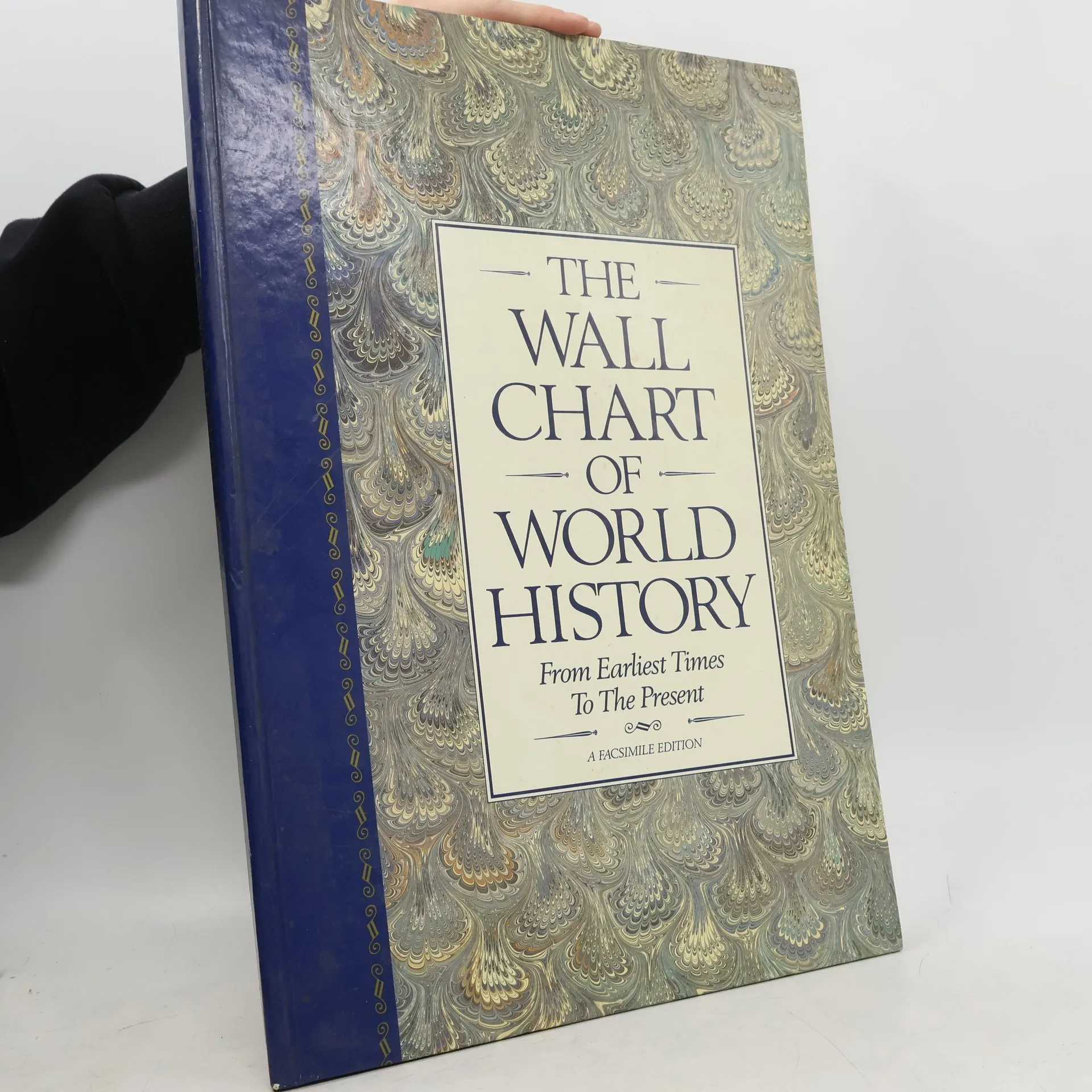
From earliest times to the present. Maps of the world's great empires complete geological diagram of the earth.
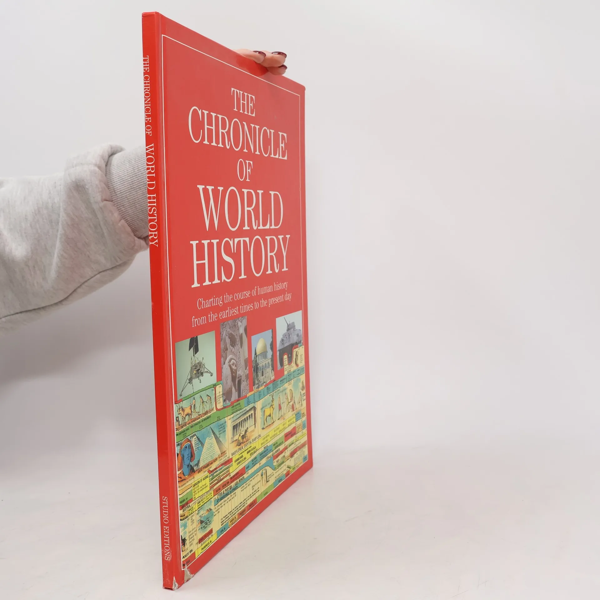
Edward Hull Livres


The Geology Of Parts Of Oxfordshire And Berkshire, By E. Hull And W. Whitaker
- 68pages
- 3 heures de lecture
This classic work of British geology, first published in 1877, is a detailed survey of the geological formations of the Oxfordshire and Berkshire regions. The book features numerous maps, illustrations, and diagrams, and is regarded as an important resource for the study of the English landscape.
The Geology of the Country Around Cheltenham: Sheet 44 of the Geological Survey
- 116pages
- 5 heures de lecture
This detailed survey of the geology of the Cheltenham area is an essential resource for geology students, researchers, and anyone interested in the geology of the region. With detailed maps and informative commentary, this book is a must-have for anyone interested in the natural history of the area.
Geology Of Parts Of Wiltshire & Gloucestershire
- 52pages
- 2 heures de lecture
This detailed geological survey covers the regions of Wiltshire and Gloucestershire in England, including descriptions of the various rock formations and features found in the area. The book provides an invaluable resource for geologists, earth scientists, and anyone interested in the natural history of this part of the country.
Memoirs of the Geological Survey of Great Britain
The Geology of the Leicestershire coal-field and of the country around Ashby-de-la-Zouch
- 76pages
- 3 heures de lecture
Focusing on the geology of the Leicestershire coal-field and the surrounding area of Ashby-de-la-Zouch, this reprint preserves the detailed observations and findings from the original 1860 edition. It serves as a valuable historical document for those interested in geological studies, providing insights into the region's natural resources and geological formations. The work is a significant contribution to the understanding of Britain's geological landscape during that period.