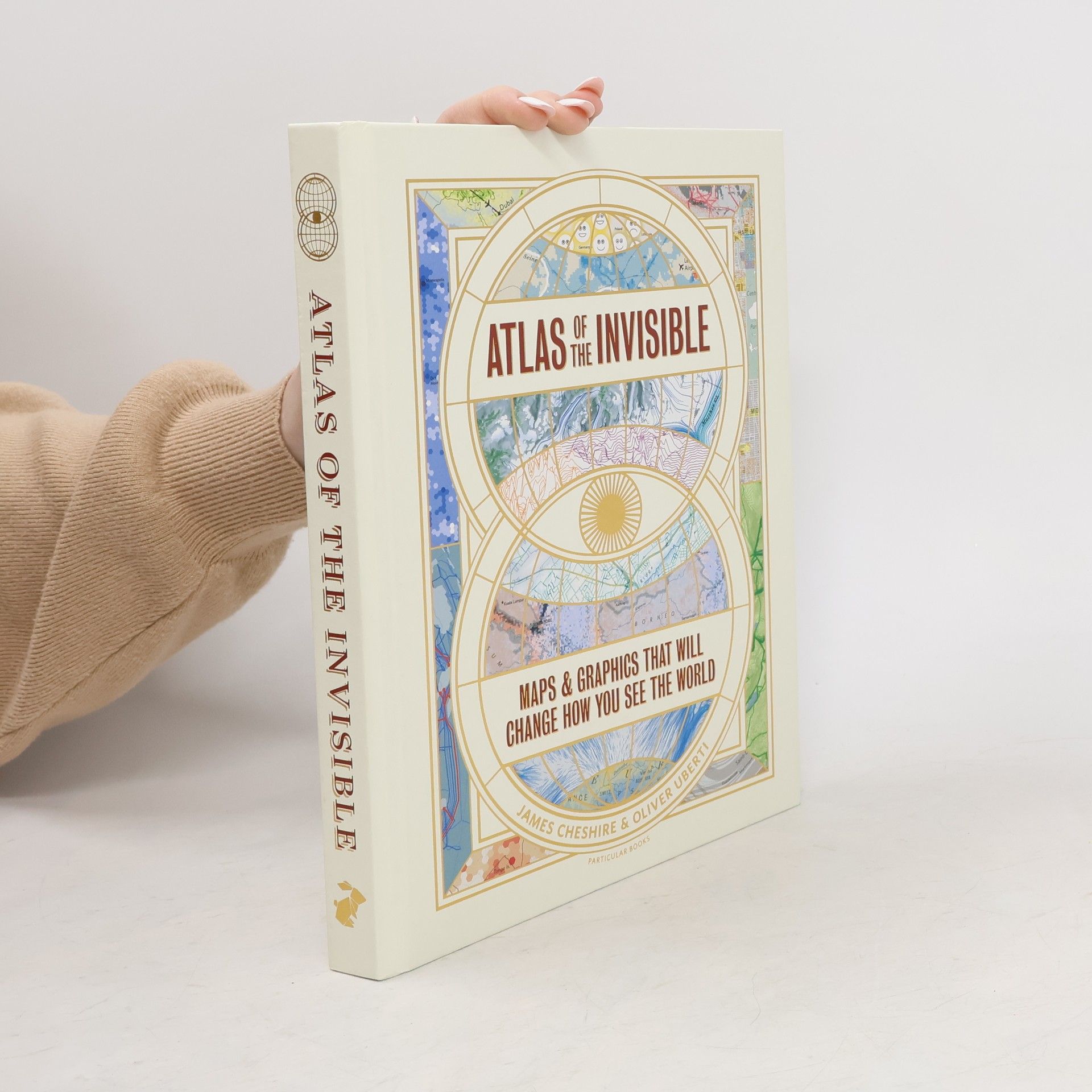
Discover the hidden patterns in human society as you have never seen them before--through the world of dataIn Atlas of the Invisible, award-winning geographer-designer team James Cheshire and Oliver Uberti redefine what an atlas can be. Transforming enormous data sets into rich maps and cutting-edge visualizations, they uncover truths about our past, reflect on who we are today, and highlight what we face in the years ahead. With their joyfully inquisitive approach, Cheshire and Uberti explore happiness and anxiety levels around the globe; they trace the undersea cables and cell towers that connect us; they examine hidden scars of geopolitics; and illustrate how a warming planet affects everything from hurricanes to the hajj. Years in the making, Atlas of the Invisible invites readers to marvel at the promise and peril of data, and to revel in the secrets and contours of a newly visible world.
James Cheshire Livres


London
- 240pages
- 9 heures de lecture
Which borough of London is the happiest? Where are the city's tweeting hot spots? How many animals does the fire brigade save each year? Which London residents have left their mark on history? Where are London'smost haunted houses (and pubs)? What makes London the information capital? Geographer James Cheshire and designer Oliver Uberti could tell you, but they'd rather show you. Combining data with stunning design, this book shows us the city as we've never seen it before-from who lives the longest to how flights stack over Heathrow, from 'The Knowledge' of a cabbie to the territories of London's thirteen football tribes. The result? One hundred portraits of an old city in a very new way.
Die Wege der Tiere
Ihre Wanderungen an Land, zu Wasser und in der Luft – in 50 Karten
James Cheshire und Oliver Uberti zeigen uns mit Hilfe neuester digitaler Daten etwas, das bis vor kurzem noch ein Mysterium war: weshalb und wohin die Tiere wandern. Auf vielen liebevoll gestalteten, großformatigen Karten und Infografiken durchqueren Schildkröten ganze Ozeane, machen Wale an Unterwassergebirgen Rast und weichen riesige Waldsänger-Schwärme Tornados aus. Wir sehen erstmals, wohin Elefanten vor Wilderern fliehen, wie Otter kalifornische Küstengebiete zurückerobern, wie niederländische Seeschwalben den Weltrekord der längsten Tierwanderung brechen und wohin Wale vor Lärm fliehen. Dieser faszinierende Bildband ist ein ideales Geschenk für jeden Natur- und Tierliebhaber.
Atlas des Unsichtbaren
Karten und Grafiken, die unseren Blick auf die Welt verändern
Migration, Sklaverei, Klimawandel, Kommunikation, Gesundheit, DNA: wissenschaftliche Daten auf einen Blick als kreative Infografiken illustriert – originell und augenöffnend. Unterseekabel illustrieren, wie wir kommunizieren. DNA-Analysen offenbaren die Routen, auf denen sich die Menschen seit zehntausenden Jahren über den Globus bewegen – und dass Nationalitäten ein künstliches Konstrukt sind. Klimadaten zeigen, wie die Erderwärmung nicht nur das Wetter beeinflusst, sondern auch geopolitische Konflikte und religiöse Bräuche. Atlanten enthalten normalerweise das, was Menschen sehen können. James Cheshire und Oliver Uberti machen jedoch gerade das sichtbar, was dem Auge verborgen bleibt. Mit nie gesehenen Karten und einzigartig originell gestalteten Grafiken ist der „Atlas des Unsichtbaren“ eine Hommage an die moderne Welt der Information, die erst durch die richtigen Bilder verstehbar wird.