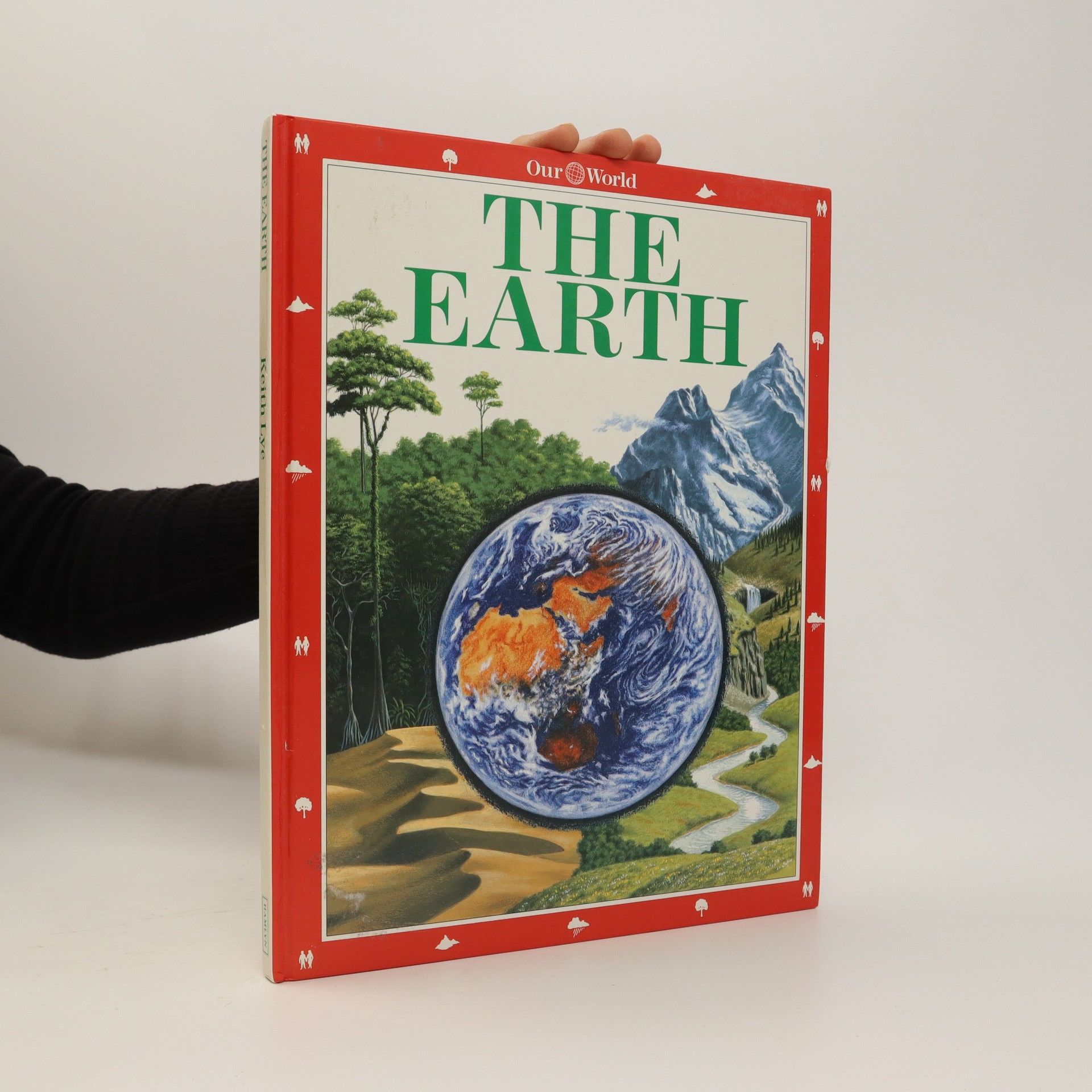
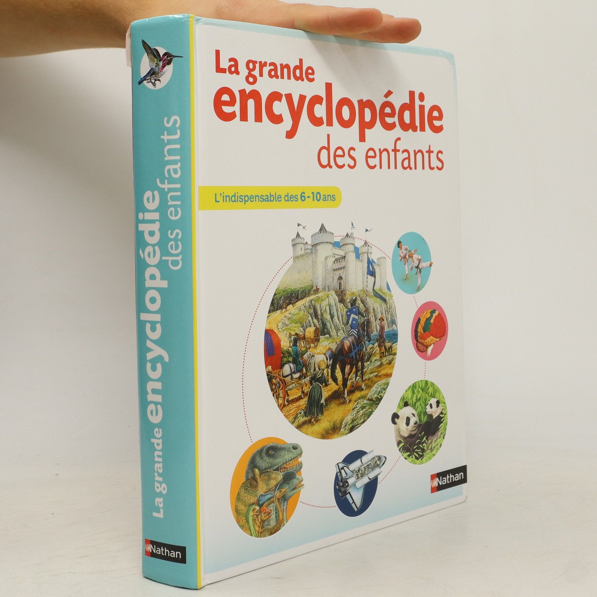
500 pages, 2500 illustrations plein d'informations dans un langage très simple, bien adaptées aux deuxième et troisième cycles du primaire 10 grands thèmes pour répondre à la curiosité des enfants : la Terre, l'Univers, la mer, tous les animaux, au temps des dinosaures, les plantes, mon corps, les machines, les continents et les peuples, les sciences 140 jeux et activités parce qu'on apprend beaucoup et très facilement en s'amusant et en réalisant de courtes expériences Un extrait de conte invite à la lecture sur chaque thème. Des petits encadrés de vocabulaire expliquent les mots difficiles.
Keith Lye Livres
Keith Lye est spécialisé dans la création d'atlas et d'ouvrages géographiques pour enfants et adultes. Ses réalisations présentent fréquemment des représentations détaillées et attrayantes du monde. Lye vise à rendre la géographie accessible aux lecteurs de tous âges grâce à ses atlas illustrés. Ses livres sont conçus pour être à la fois éducatifs et visuellement attrayants.

Solarama Natur: Minéraux et roches
- 125pages
- 5 heures de lecture
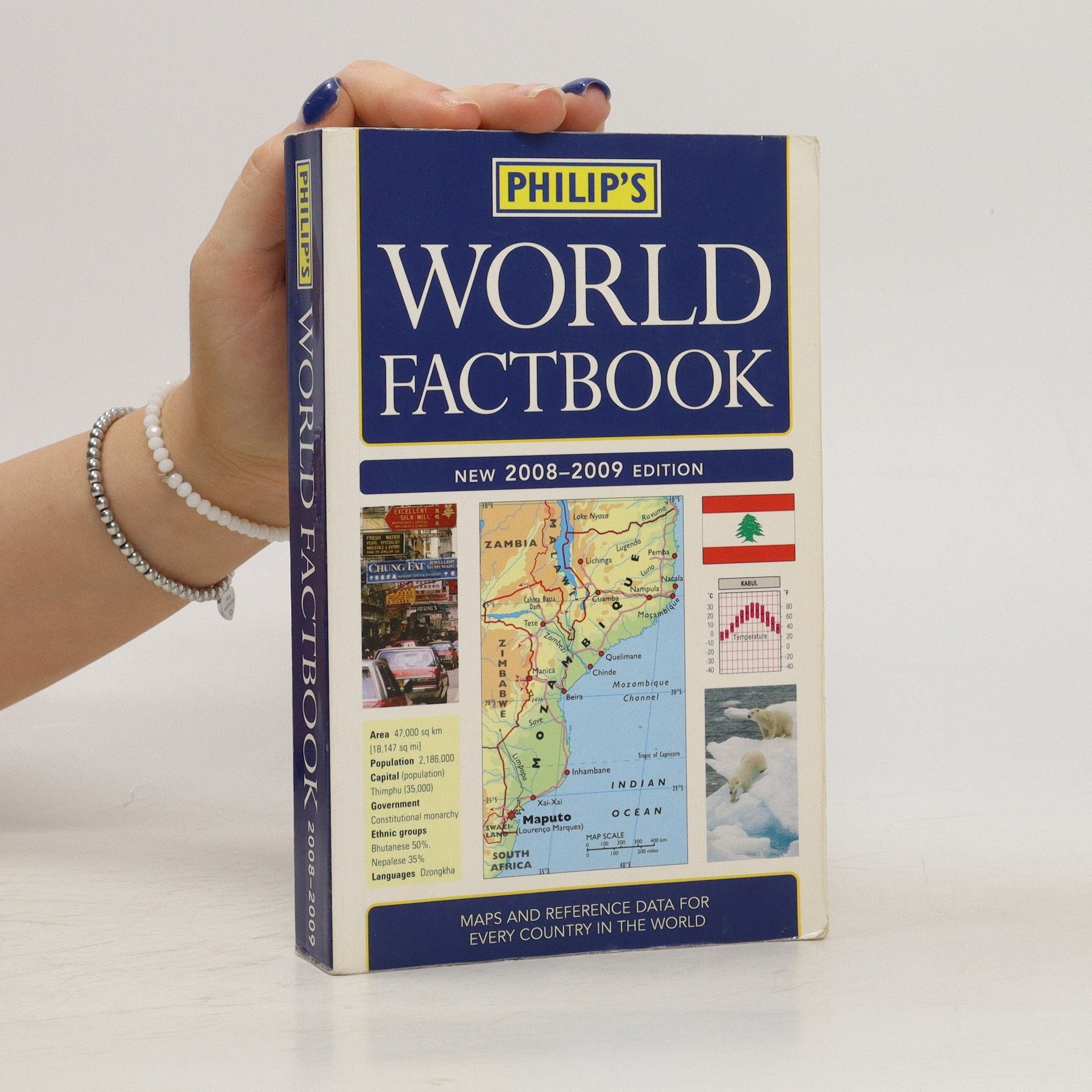
Annotation. Fully updated for 2008-2009, Philip's World Factbook is a reference book for students, travellers, journalists and geography buffs, providing concise, up-to-date geographical information on every country of the world, illustrated with mapsand flags.
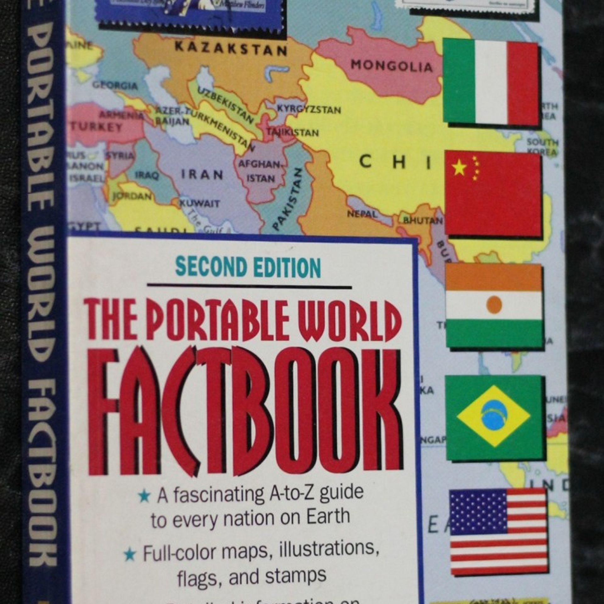
A concise A-to-Z guide to every nation in the world contains full-color maps and flags, climate graphs, stamps, and fascinating facts regarding history, politics, culture, economy, and geography.
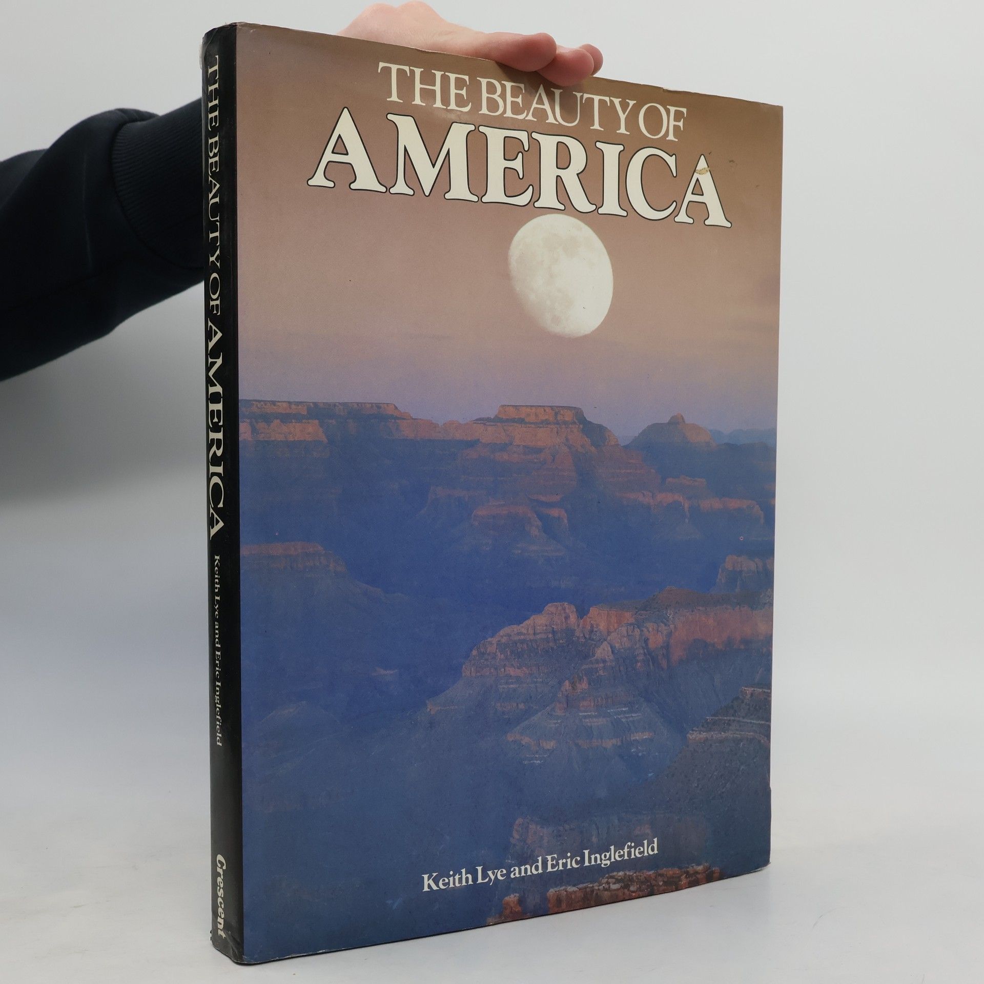
The Beauty of America
- 264pages
- 10 heures de lecture
The unsurpassed beauty and immense variety of the American landscape is superbly captured in "The Beauty of America, a book that is fascinating to read and a delight to browse through with its lively and informative text and outstanding collection of photographs.
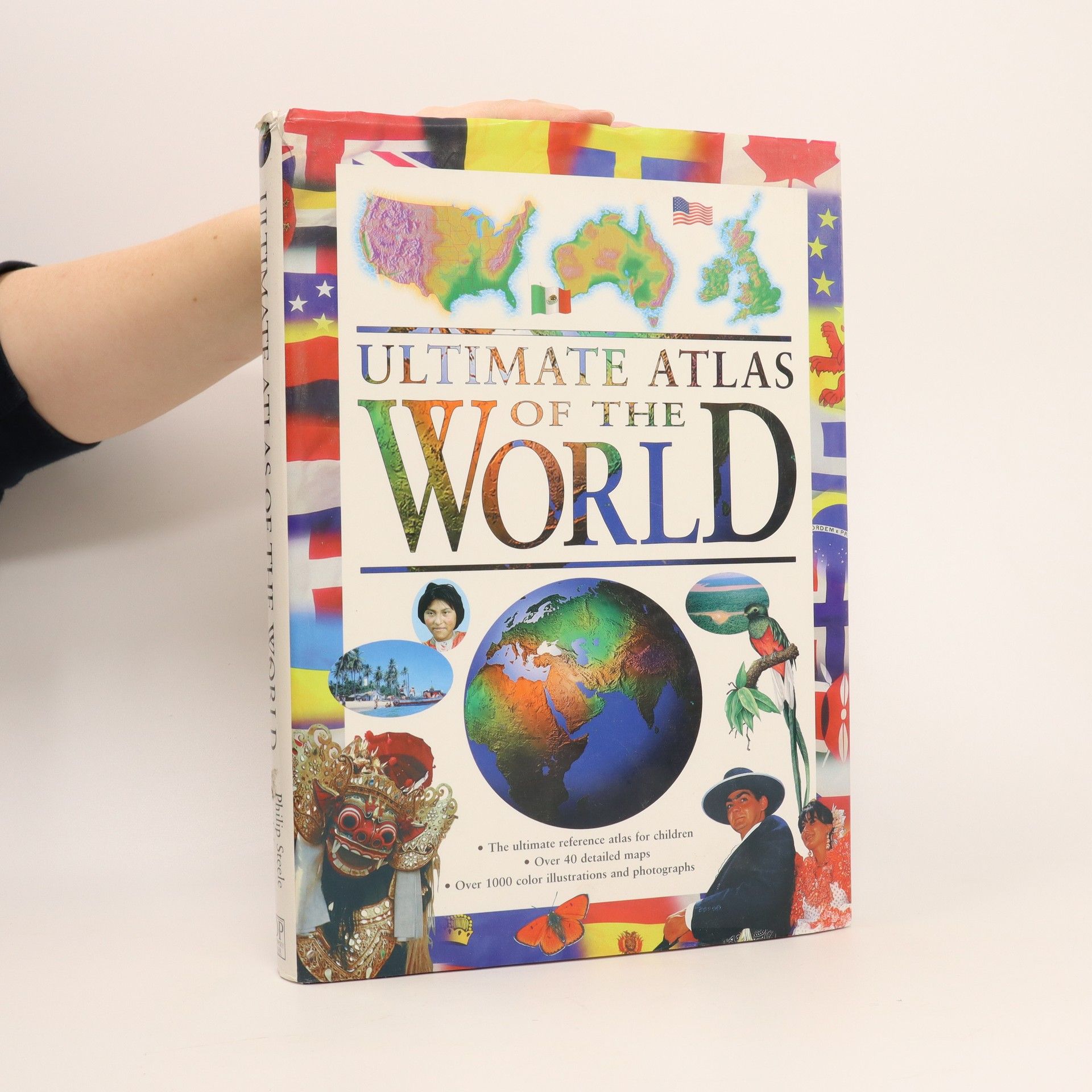
The Ultimate Atlas of the World provides a fact-filled and exciting journey in which young readers can explore for themselves the world and its people. Each region is examined in depth, showing its position on the globe and its terrain and landscape. Children can find out about the world's systems of government and how its people live and work. Fact boxes contain important information such as capital city, population, language and currency, and history pages give a valuable timeline of the important events in each country's past. - Color illustrations and photographs throughout- Locator globes and flags for every country- Packed with facts and information on a vast ranges of issues- Unique history section with a chronology of important people and events- Includes important sections on ecology and the environment
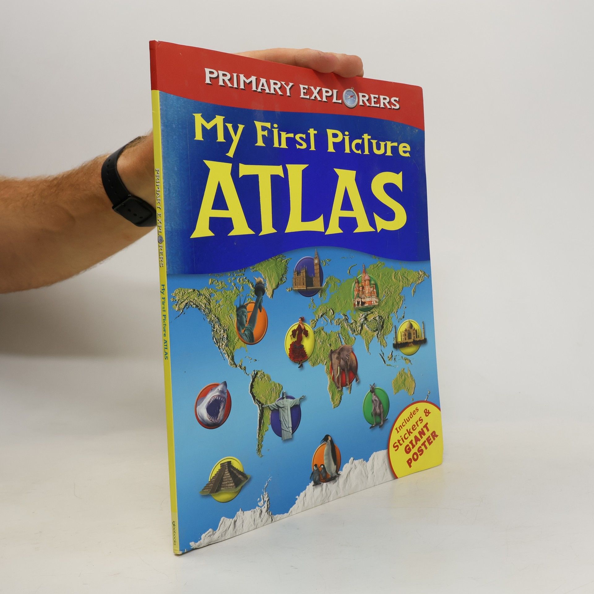
My First Picture Atlas
- 48pages
- 2 heures de lecture
The Illustrated Atlas of the United States
- 79pages
- 3 heures de lecture
An atlas of the United States, containing color maps and photographs covering each state's major cities, landscape, industry, agriculture, and history.
