

En savoir plus sur le livre
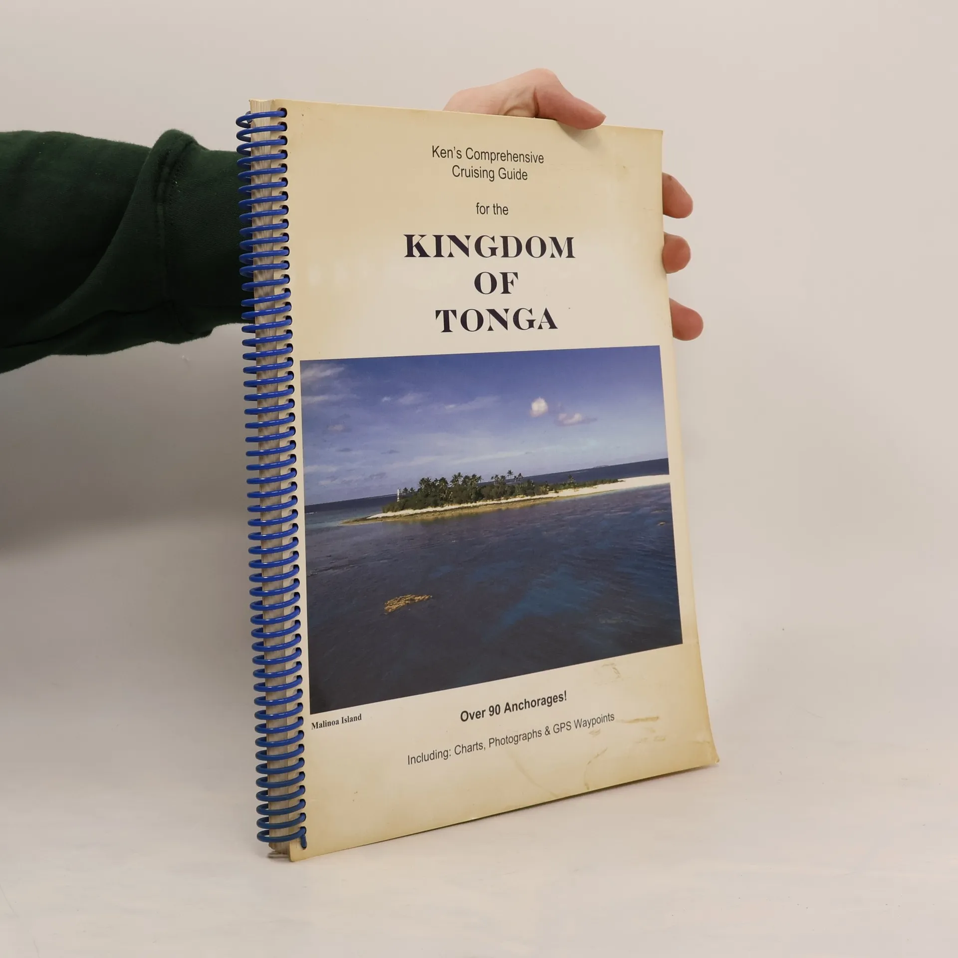
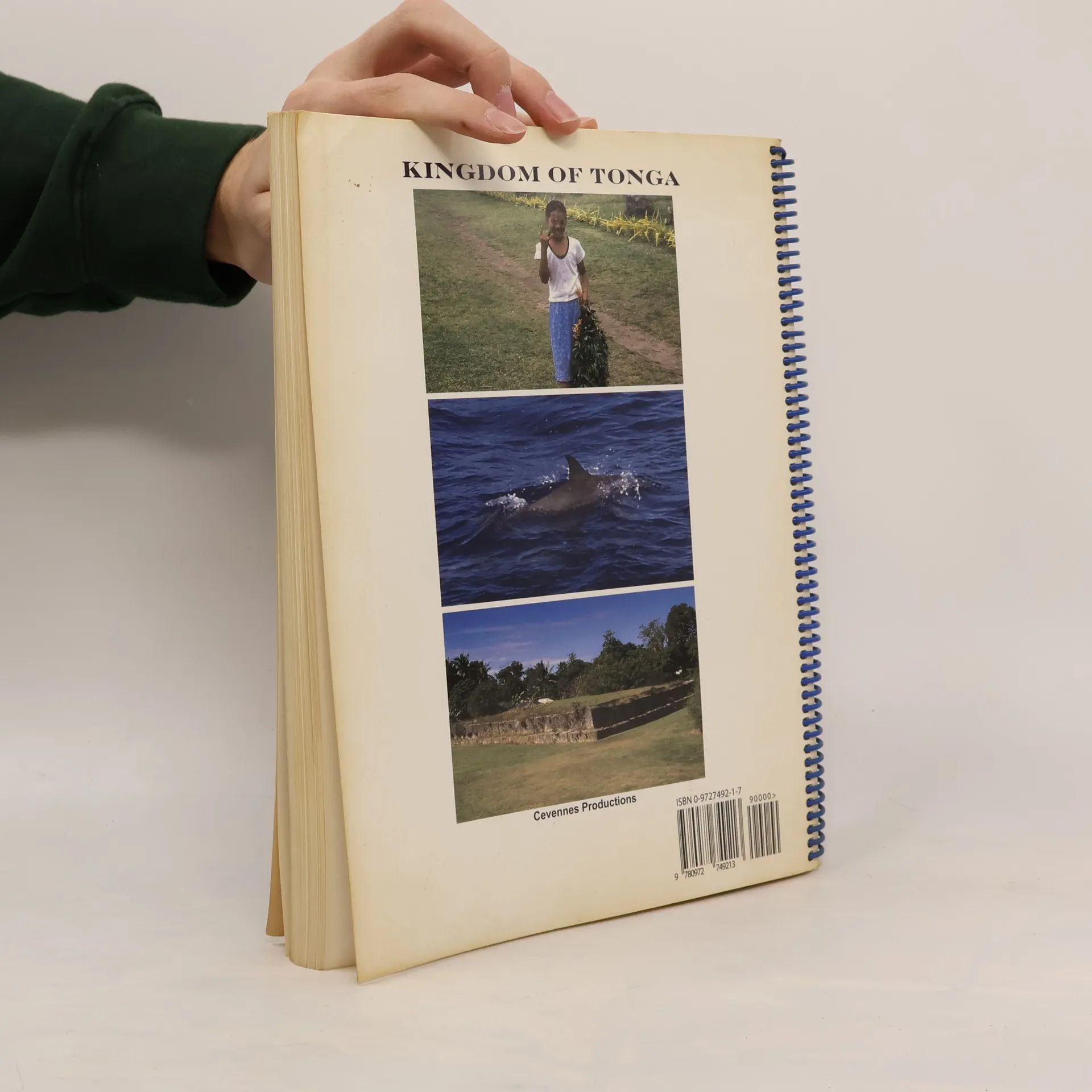
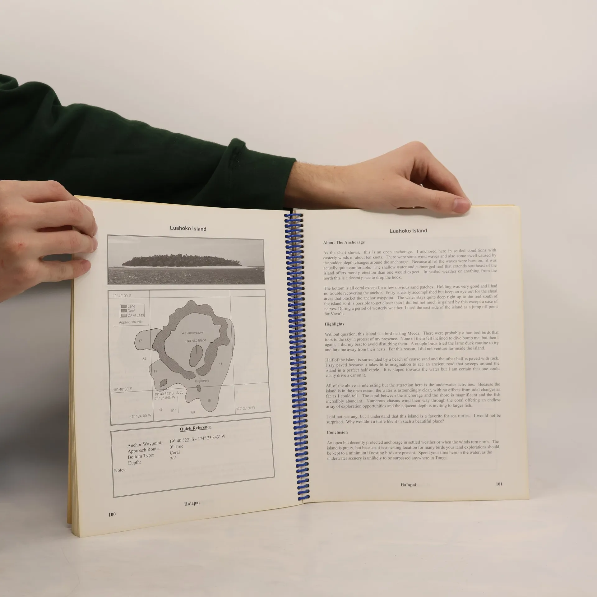
This is the most complete crusing guide for the Kingdom of Tonga. Made by a cruiser for cruisers, it features lay flat binding, logically arranged charts and information including waypoints and anchorages. Included in the guide are over 90 anchorages, provisioning information, customs proceedures and details relating to officialdom. Every anchorage page includes a picture, corrected chart and a description of conditions and items of interest. The author spent three seasons sailing the entire chain and researched, recorded and documented every single anchorage and waypoint included in the book. Additionally, he corrected every chart to eliminate the roughly 1/4 mile error that exists in contemporary paper and electronic charts. There is no better resouce for both the traveller and sailor interested in visiting this island paradise.
Achat du livre
Ken's Comprehensive Cruising Guide for the Kingdom of Tonga, Kenneth Hellewell
- Langue

- Année de publication
- 2003
Modes de paiement
Il manque plus que ton avis ici.
- Titre
- Ken's Comprehensive Cruising Guide for the Kingdom of Tonga
- Langue
- Anglais
- Auteurs
- Kenneth Hellewell
- Éditeur
- Kenneth Hellewell
- Publié
- 2003
- Pages
- 200
- ISBN10
- 0972749217
- ISBN13
- 9780972749213
- Séries
- Catégories
- Mots clés
- La nature, Voyage, Aventure, Autres manuels scolaires
- Évaluation
- 4 sur 5
- Description
- This is the most complete crusing guide for the Kingdom of Tonga. Made by a cruiser for cruisers, it features lay flat binding, logically arranged charts and information including waypoints and anchorages. Included in the guide are over 90 anchorages, provisioning information, customs proceedures and details relating to officialdom. Every anchorage page includes a picture, corrected chart and a description of conditions and items of interest. The author spent three seasons sailing the entire chain and researched, recorded and documented every single anchorage and waypoint included in the book. Additionally, he corrected every chart to eliminate the roughly 1/4 mile error that exists in contemporary paper and electronic charts. There is no better resouce for both the traveller and sailor interested in visiting this island paradise.