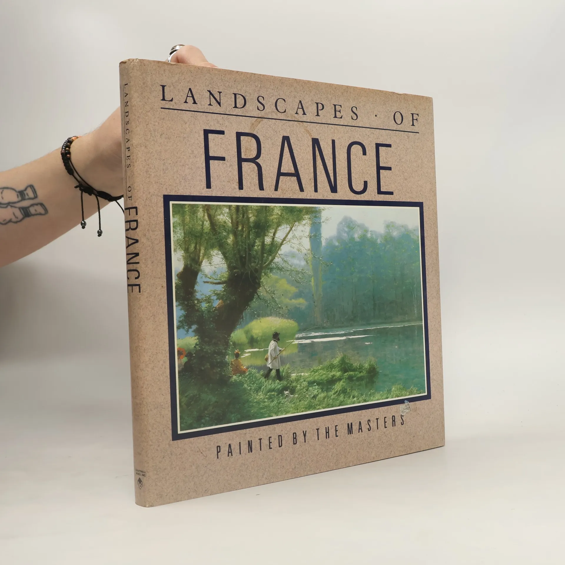
Represents French landscapes from the Norman and Breton coastlines to the Mediterranean in works by artists from the Middle Ages to the present, including Matisse, Cris, Gauguin, Pissaro and Turner
Andrew Heritage Livres

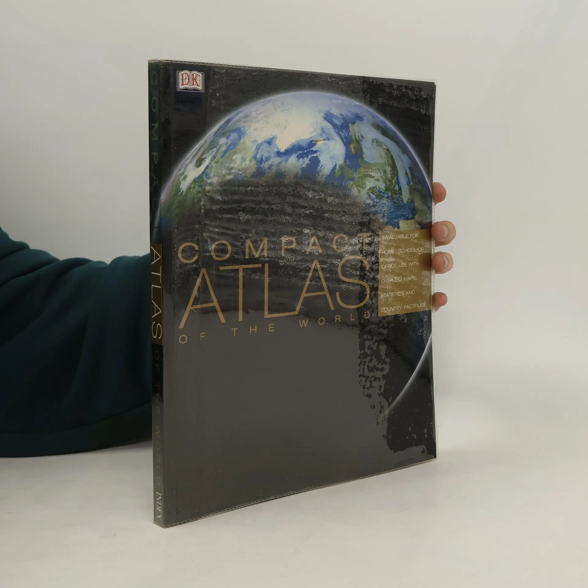
Compact Atlas of the World
- 192pages
- 7 heures de lecture
This reference uses digital mapping to detail the world's nations. From the African Plains to the Himalayas, landscape modelling and politically coloured overview maps give an insight into the world today.
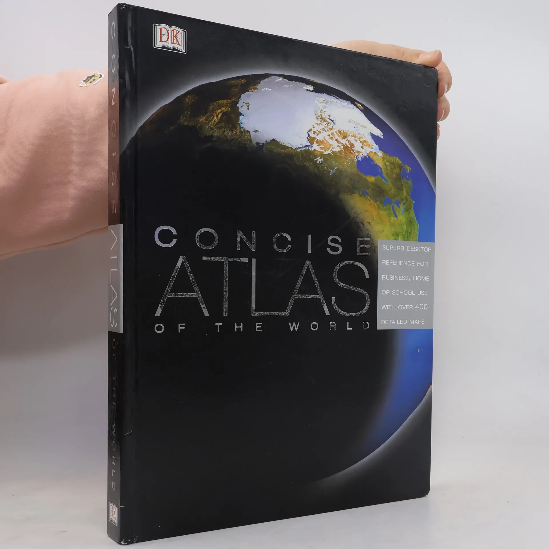
Concise Atlas of the World
- 350pages
- 13 heures de lecture
From the defining boundaries of the Balkan states, to the icy terrain of Antartica, this is the definintive reference atlas of the world today. Contains over 640 maps of every global region and is supported by detailed text, photographs and diagrams. An unsurpassed overview of the physical, political and demographic geography of the world with wide ranging appeal.
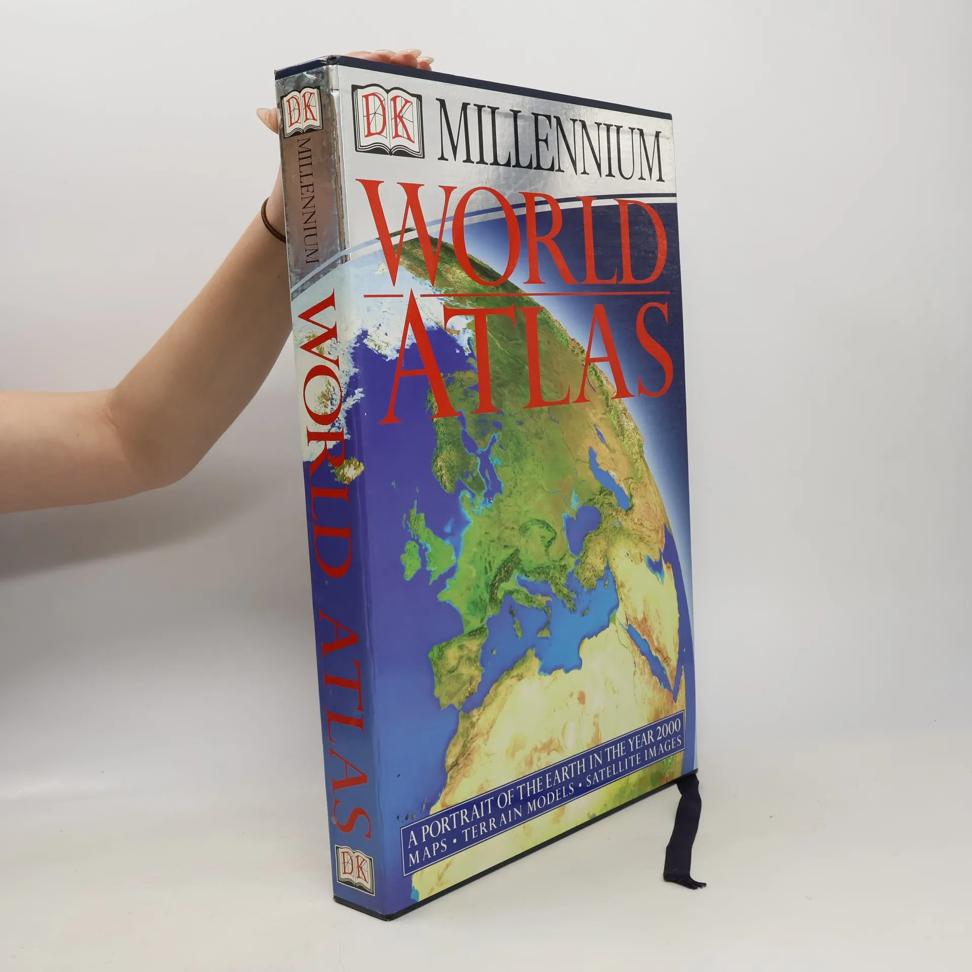
World Atlas
- 492pages
- 18 heures de lecture
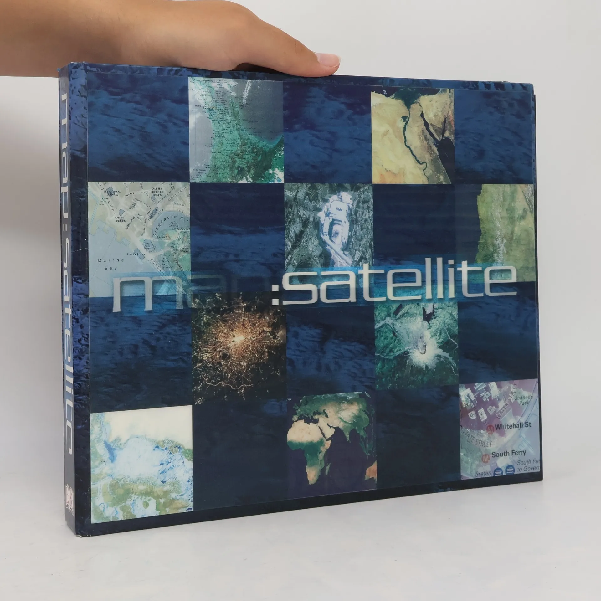
This atlas brings together the latest cartographic information with state-of-the-art satellite imagery and computerized terrain modelling, to take you on an unforgettable journey around the globe. More than 1500 illustrations show how the world really looks today.
Featuring twenty thousand indexed place names from around the world, a colorful atlas combines satellite images with cartography and descriptions to highlight natural and human environments around the globe.
Als Überblick über die 100 besten und einflussreichsten Filme der Geschichte präsentiert dieses Buch viele bekannte Favoriten, gewiss aber auch Neuentdeckungen. Es spannt den Bogen von der frühen Stummfilmzeit bis zu den jüngsten Meisterwerken und bietet so eine hervorragende Einführung in die faszinierende Welt des Films, illustriert mit mehr als 600 Abbildungen, die vielfach am Set entstanden sind. So stellt dieses Kompendium nicht nur Stars, Regisseure und Produzenten vor, sondern auch Tendenzen und Genres, die den Reiz der glitzernden Leinwand ausmachen.
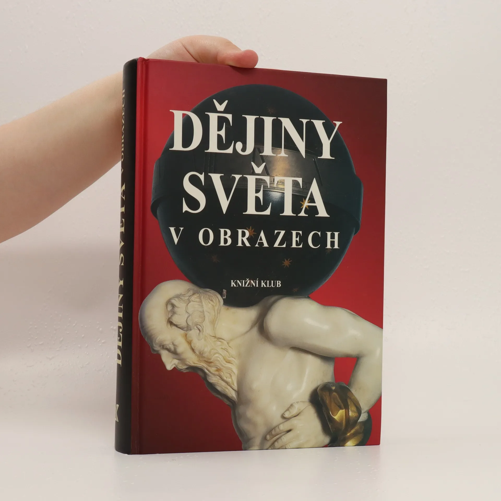
Monografie uvádí nejvýznamnější úseky světových dějin a sleduje posun nejdůležitějších civilizačních center od pravěku do současnosti. Napsal kolektiv pod vedením Andrewa Heritage
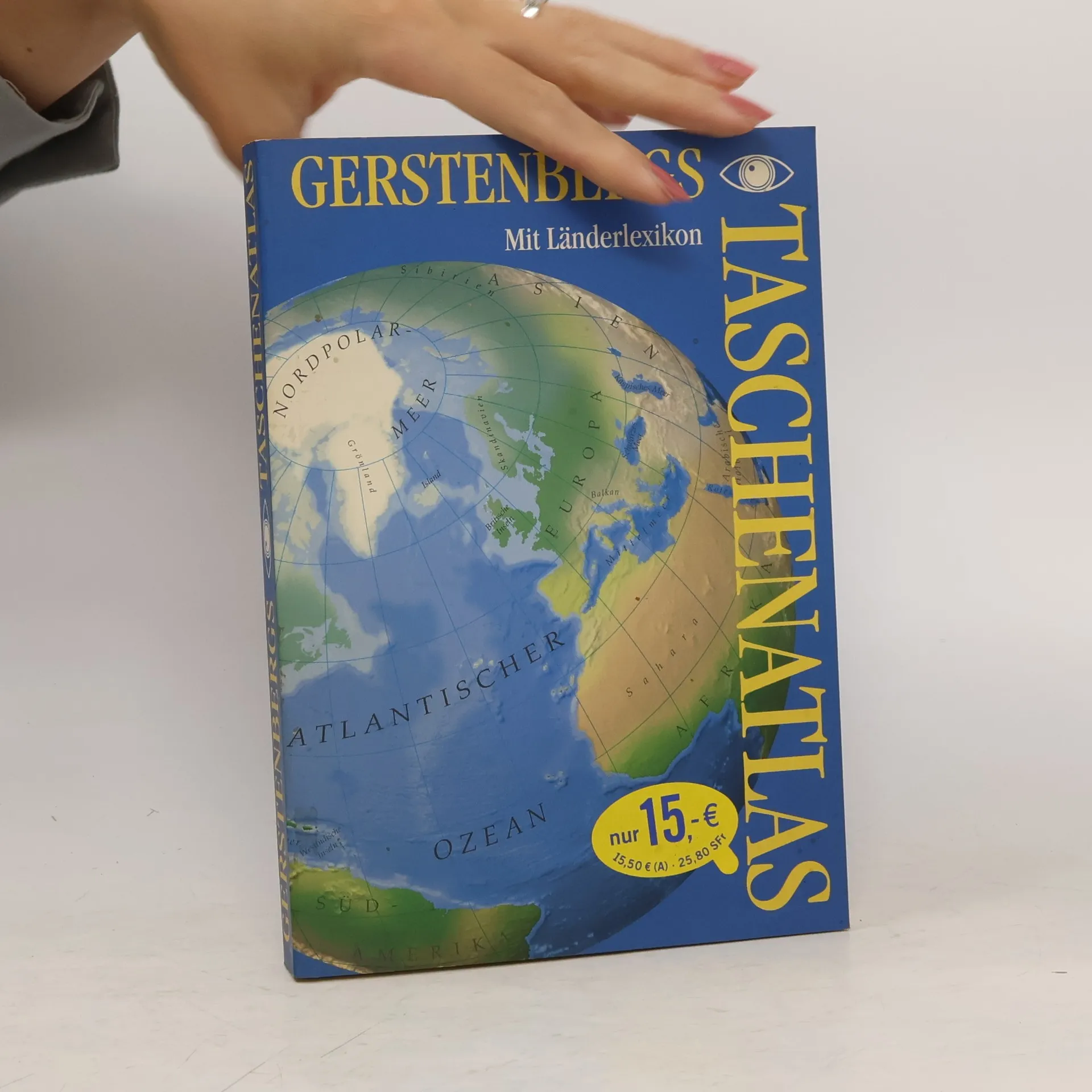
Gerstenbergs Taschenatlas
- 318pages
- 12 heures de lecture
Im Wesentlichen zeigt der Atlas in Taschenformat einerseits eine Reihe von weltweiten Spezialkarten (politisch, physisch, Zeitzonen, Geologie, Meeresströme, Bevölkerung, Sprachen etc.), andererseits die Erdteile und ihre Regionen anhand von Karten einzelner Länder oder Ländergruppen. Ein Länderlexikon mit Eckdaten der Länder (Fläche, Hauptstadt, Bruttosozialprodukt, Urbanisierung etc.) sowie ein Ortsnamen-Register machen den Abschluss. Der Vorteil des handlichen Taschenformats ist zugleich Nachteil. Die Karten sind relativ klein und werden durch den Falz halbiert, was insgesamt der Übersicht und den Detaillierungsmöglichkeiten Grenzen setzt. Ab 12 Jahren, möglich, Ruedi W. Schweizer.
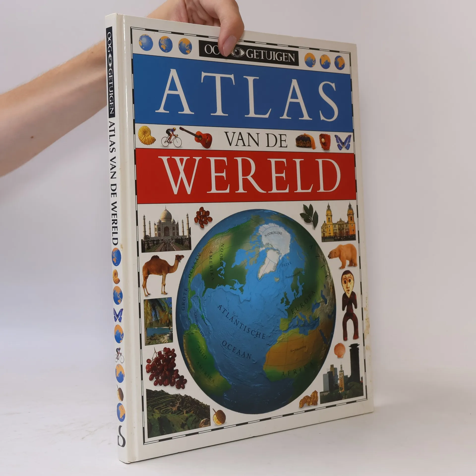
Oog Getuigen: Atlas van de wereld
- 160pages
- 6 heures de lecture
Part of growing up is learning how you fit in--to a family, a town, a country, and a larger world. This top-notch atlas from Dorling Kindersley helps children explore the larger context of their place on planet Earth. The book's introduction discusses Earth's position in space, the forces that shape the Earth's surface, and world population patterns. Each continent is shown on a global map, with information about its topography and important features. Sectional discussions of the continent follow, with a large map; a key to the special features; and small photographs, illustrations, and explanations of interesting sites, products, foods, legends, and history particular to each region. For example, the pages on Brazil include illustrations and captions on Carnival, coffee, gold mining, native peoples, Brazil nuts, dance music, and soccer. These colorful tidbits of information make each page come alive with the individual flavor of each country or region. The maps for this book were produced with the latest computer technology and reflect the recent political changes in countries such as Germany, the former Soviet Union, and the Baltic region. Also included are a glossary of geographical terms and a complete index to help young readers locate any state or country. This solid, attractive atlas is bound to appeal to future world explorers everywhere. (Ages 9 to 12)