

Paramètres
- 272pages
- 10 heures de lecture
En savoir plus sur le livre
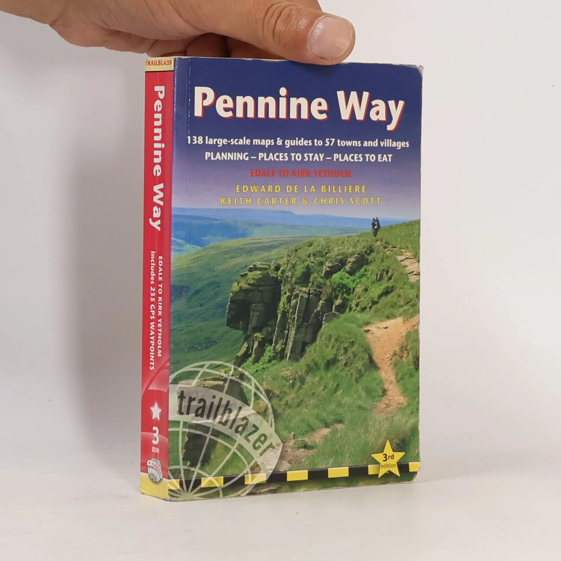
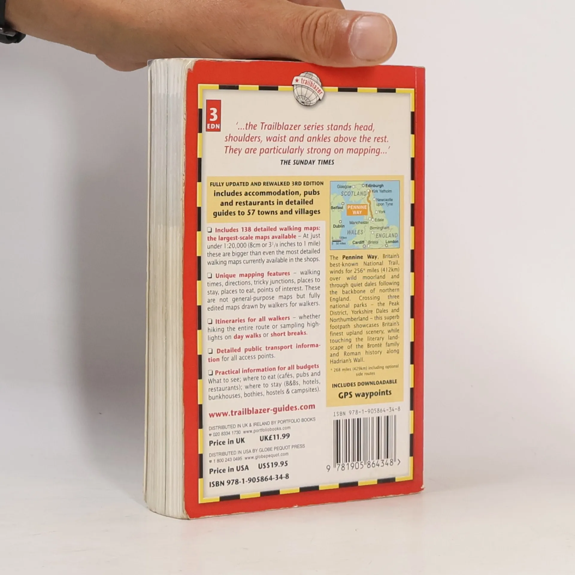
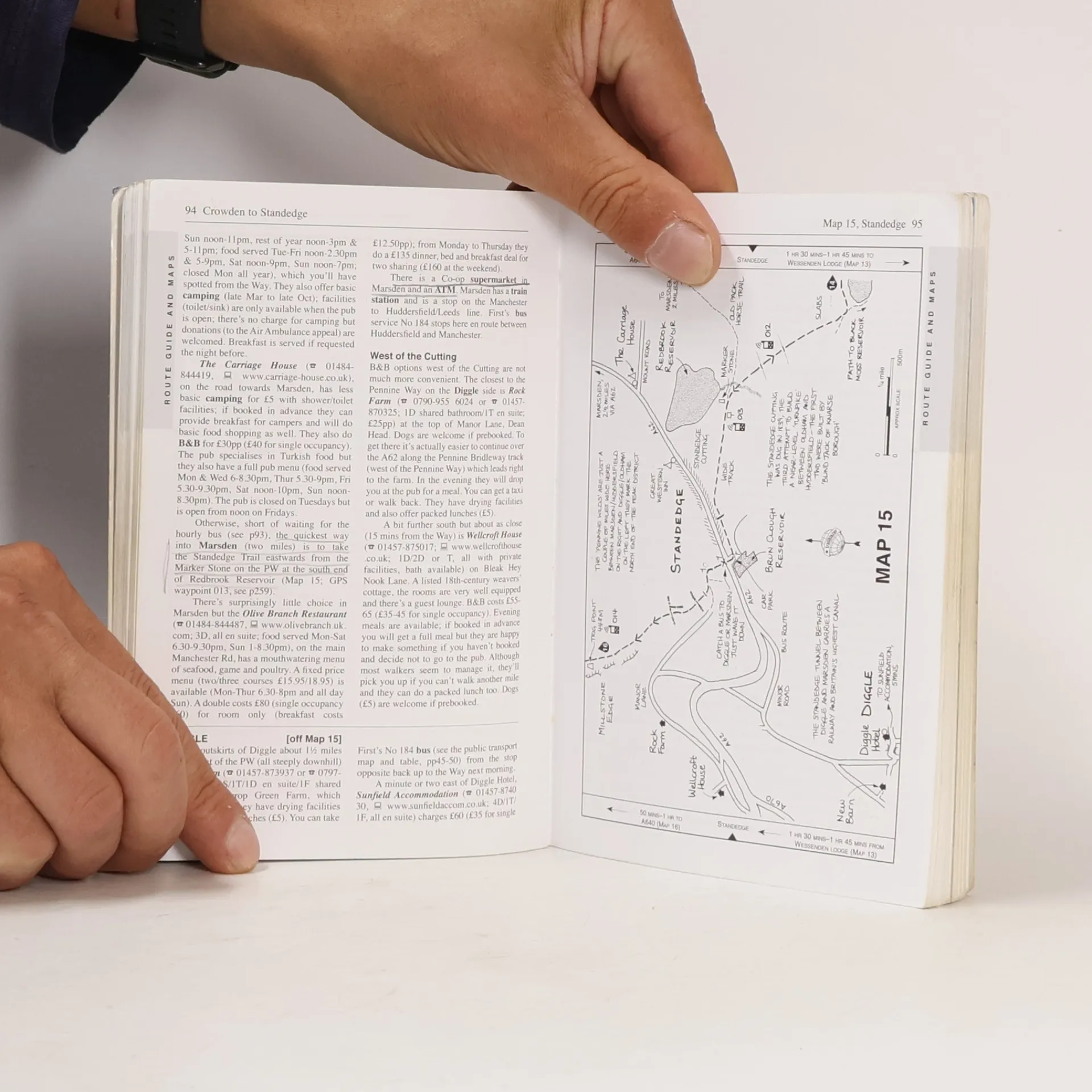
Britain’s best-known National Trail winds for 256 miles through three National Parks – the Peak District, Yorkshire Dales and Northumberland. This superb footpath showcases Britain’s finest upland scenery, while touching the literary landscape of the Bronte family and Roman history along Hadrian’s Wall.* 137 walking maps – 1:20,000 (3-1/8 inches to 1 mile) – the largest-scale maps available.*Unique mapping features – walking times, directions, tricky junctions, places to stay, places to eat, points of interest.* Includes day walks and short breaks.* Practical information for all budgets – what to see, where to stay, where to eat: pubs, B&Bs, hotels, campsites, hostels.
Achat du livre
Trailblazer: Pennine Way, Edward de la Billiere, Keith Carter, Chris Scott
- Langue

- Année de publication
- 2011
- Reliure
- (souple),
- État du livre
- Abîmé
- Prix
- 3,41 €
Modes de paiement
Personne n'a encore évalué .
- Titre
- Trailblazer: Pennine Way
- Sous-titre
- British Walking Guide - 3rd Edition
- Langue
- Anglais
- Auteurs
- Edward de la Billiere, Keith Carter, Chris Scott
- Éditeur
- Trailblazer Publications
- Publié
- 2011
- Format
- souple
- Pages
- 272
- ISBN10
- 1905864345
- ISBN13
- 9781905864348
- Séries
- Mots clés
- Voyage, États-Unis, Randonnée pédestre, Cartes 1 : 20 000
- Description
- Britain’s best-known National Trail winds for 256 miles through three National Parks – the Peak District, Yorkshire Dales and Northumberland. This superb footpath showcases Britain’s finest upland scenery, while touching the literary landscape of the Bronte family and Roman history along Hadrian’s Wall.* 137 walking maps – 1:20,000 (3-1/8 inches to 1 mile) – the largest-scale maps available.*Unique mapping features – walking times, directions, tricky junctions, places to stay, places to eat, points of interest.* Includes day walks and short breaks.* Practical information for all budgets – what to see, where to stay, where to eat: pubs, B&Bs, hotels, campsites, hostels.