

Épuisé
En savoir plus sur le livre
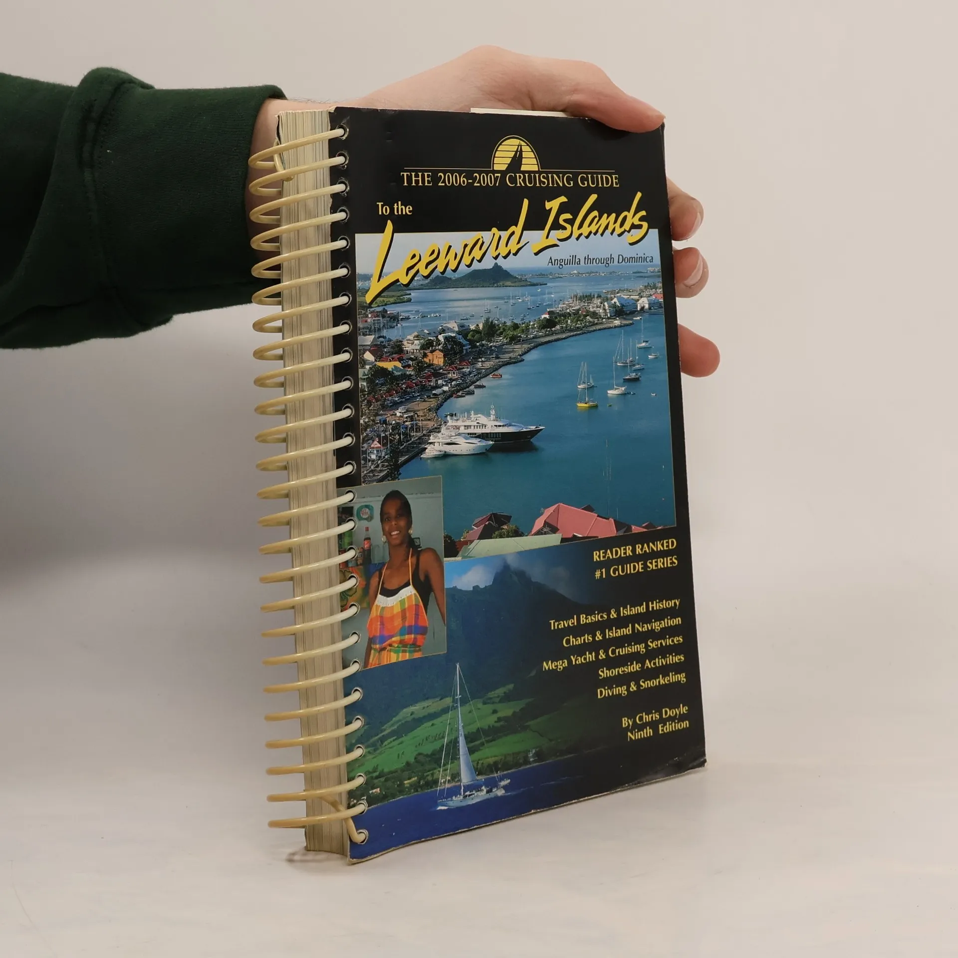
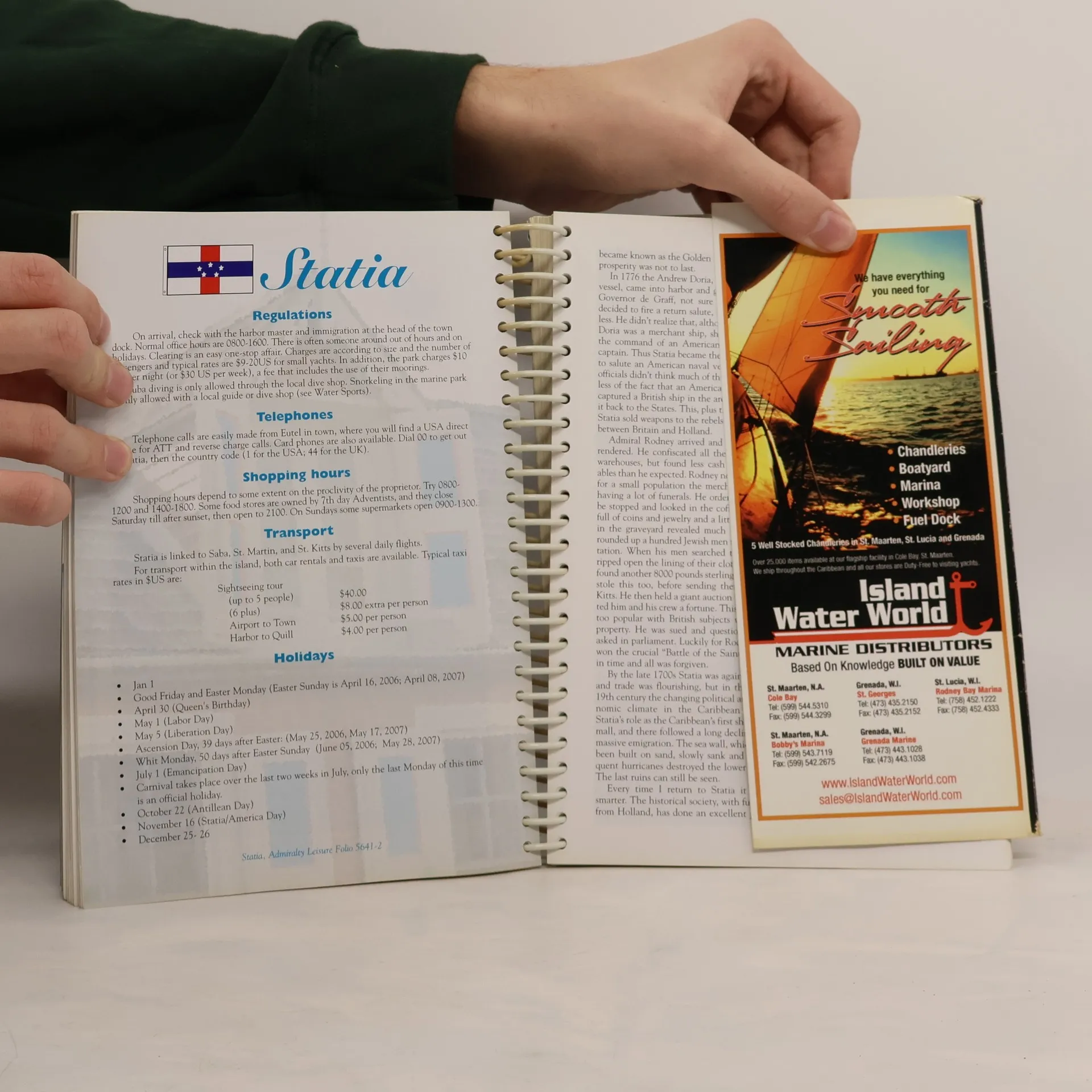
Completely updated and meticulously researched, this guide covers the islands from Anguilla to Dominica with dramatic full color photographs of these areas. It has become an essential tool for all cruisers sailing this region with over 90 up-to-date sketch charts, and aerial photos of most anchorages, detailed shore-side information covering services, restaurants, provisioning, travel basics and island history. Information is linked to the author's website where you can download the GPS waypoints given in the sketch charts, and obtain links to local weather, news and businesses.
Achat du livre
The Cruising Guide to the Leeward Islands, Chris Doyle
- Langue

- Année de publication
- 2005
- Reliure
- (spirale)
Nous vous informerons par e-mail dès que nous l’aurons retrouvé.
Modes de paiement
Il manque plus que ton avis ici.
- Titre
- The Cruising Guide to the Leeward Islands
- Sous-titre
- 2006-2007 - Ninth Edition
- Langue
- Anglais
- Auteurs
- Chris Doyle
- Éditeur
- Cruising Guide Pubns
- Publié
- 2005
- Format
- spirale
- Pages
- 504
- ISBN10
- 0944428738
- ISBN13
- 9780944428733
- Séries
- Catégories
- Mots clés
- Thème historique, La nature, Voyage, Autre histoire
- Évaluation
- 4 sur 5
- Description
- Completely updated and meticulously researched, this guide covers the islands from Anguilla to Dominica with dramatic full color photographs of these areas. It has become an essential tool for all cruisers sailing this region with over 90 up-to-date sketch charts, and aerial photos of most anchorages, detailed shore-side information covering services, restaurants, provisioning, travel basics and island history. Information is linked to the author's website where you can download the GPS waypoints given in the sketch charts, and obtain links to local weather, news and businesses.