

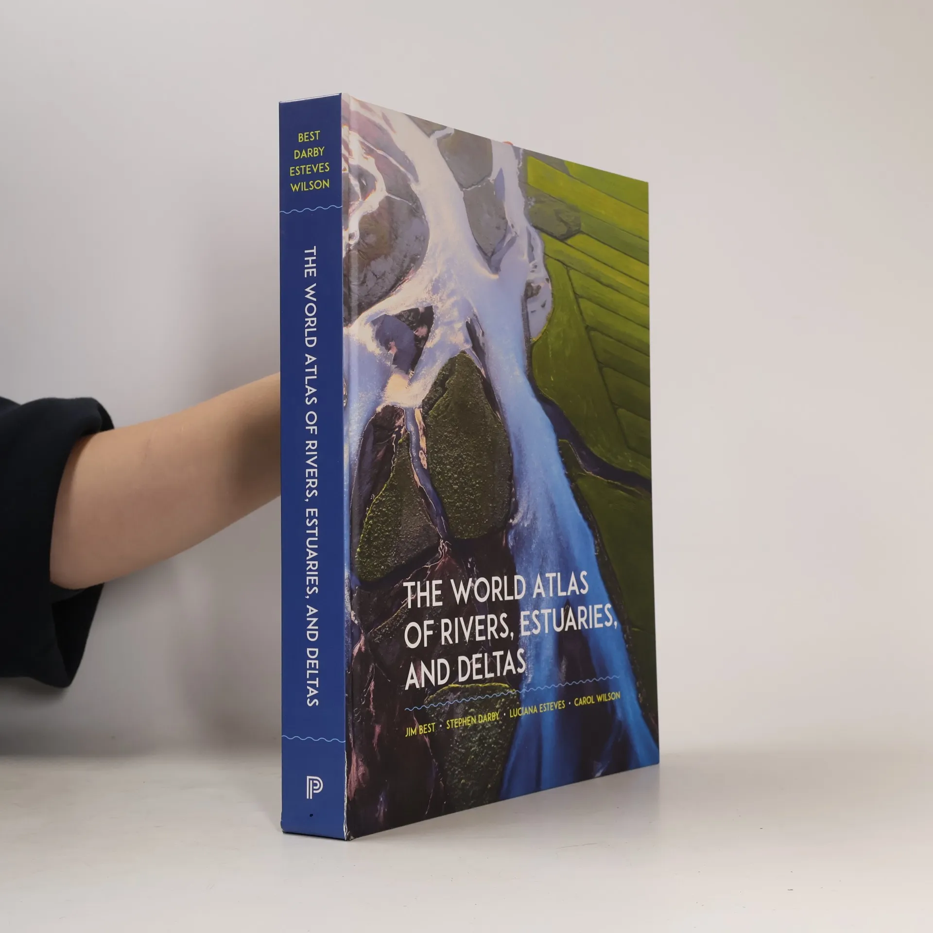

The World Atlas of Rivers, Estuaries, and Deltas
Paramètres
- 400pages
- 14 heures de lecture
En savoir plus sur le livre
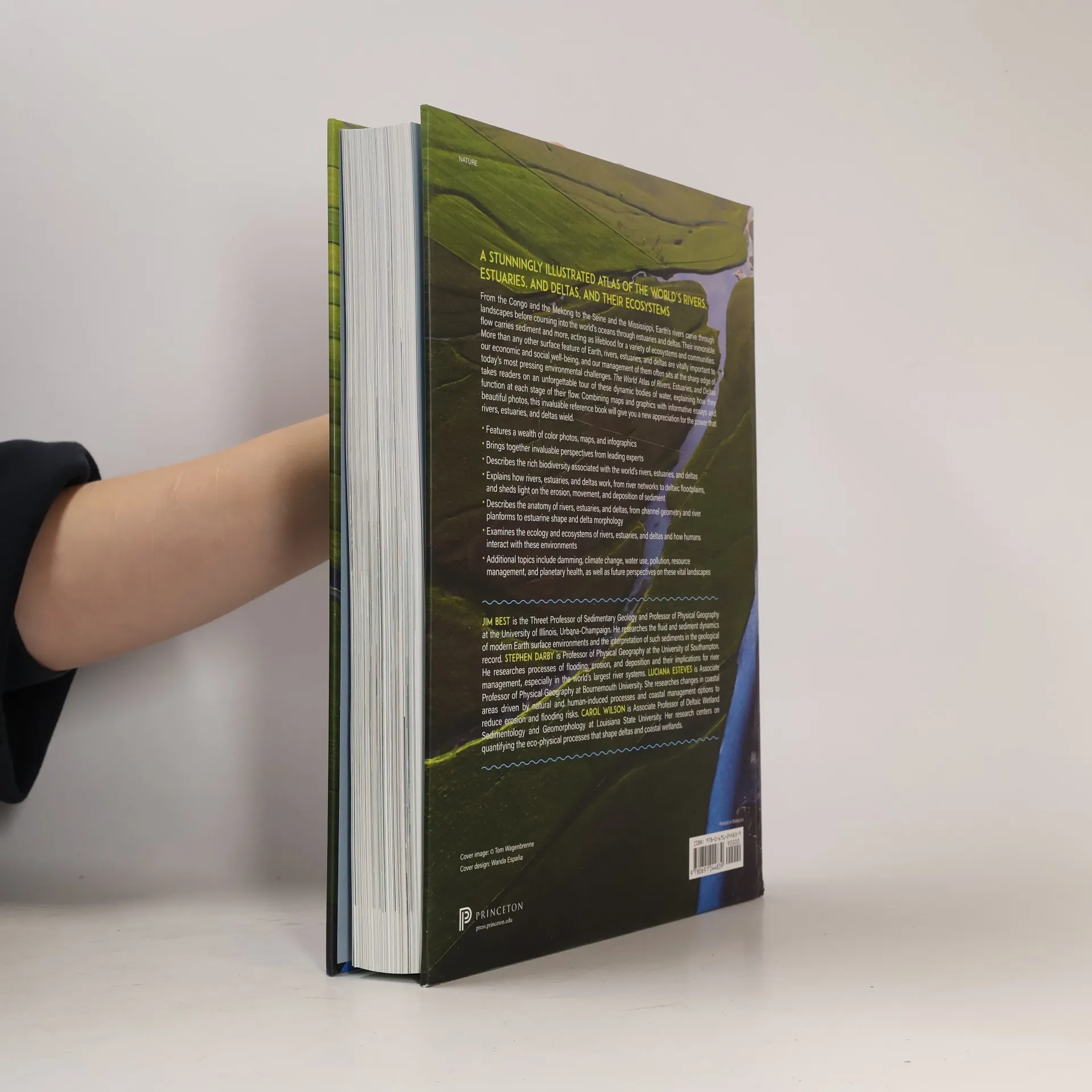
A stunningly illustrated atlas of the world’s rivers, estuaries, and deltas, and their ecosystemsFrom the Congo and the Yangtze to the Seine and the Mississippi, Earth’s rivers carve through landscapes before coursing into the world’s oceans through estuaries and deltas. Their inexorable flow carries sediment and more, acting as lifeblood for a variety of ecosystems and communities. More than any other surface feature of Earth, rivers, estuaries, and deltas are vitally important to our economic and social well-being, and our management of them often sits at the sharp edge of today’s most pressing environmental challenges. The World Atlas of Rivers, Estuaries, and Deltas takes readers on an unforgettable tour of these dynamic bodies of water, explaining how they function at each stage of their flow. Combining maps and graphics with informative essays and beautiful photos, this invaluable reference book will give you a new appreciation for the power that rivers, estuaries, and deltas wield.
Achat du livre
The World Atlas of Rivers, Estuaries, and Deltas, Jim Best, Stephen Darby, Carol A. Wilson, Luciana Esteves, James L. Best
- Langue

- Année de publication
- 2024
- Reliure
- (rigide),
- État du livre
- Très bon
- Prix
- 28,39 €
Modes de paiement
Personne n'a encore évalué .
- Titre
- The World Atlas of Rivers, Estuaries, and Deltas
- Langue
- Anglais
- Éditeur
- Princeton University Press
- Publié
- 2024
- Format
- rigide
- Pages
- 400
- ISBN10
- 0691244839
- ISBN13
- 9780691244839
- Séries
- Catégories
- Mots clés
- La nature, Manuels et guides, Science, Plantes, Nourriture, Espace, Observation de la nature, Développement, Campagne, Migration, Poissons, Richesse, Planète Terre, Paysage, Eau, Marine, Atlas du monde, Climat, Côte, Sable, Population, Sel, Végétation
- Description
- A stunningly illustrated atlas of the world’s rivers, estuaries, and deltas, and their ecosystemsFrom the Congo and the Yangtze to the Seine and the Mississippi, Earth’s rivers carve through landscapes before coursing into the world’s oceans through estuaries and deltas. Their inexorable flow carries sediment and more, acting as lifeblood for a variety of ecosystems and communities. More than any other surface feature of Earth, rivers, estuaries, and deltas are vitally important to our economic and social well-being, and our management of them often sits at the sharp edge of today’s most pressing environmental challenges. The World Atlas of Rivers, Estuaries, and Deltas takes readers on an unforgettable tour of these dynamic bodies of water, explaining how they function at each stage of their flow. Combining maps and graphics with informative essays and beautiful photos, this invaluable reference book will give you a new appreciation for the power that rivers, estuaries, and deltas wield.